
What is recorded here
On the highest point of a hill commanding excellent views from NW-E-S. Locally known as ‘Raheen’. There is an enclosure (KK018-103----) 140m to the E and a ringfort (KK018-068----) 500m to the WSW. A large circular raised area (int. diam. c. 55m N-S) defined by scarp, enclosed by a broad, deep, waterlogged fosse (Wth 3.5-4m) and an outer, relatively modern, narrow earthen and stone bank (ext. H 1.1m; Wth 1.8m). The outer bank is of similar composition to the field boundaries in the immediate area. There is a causewayed entrance at the S (Wth 1.7m) and a second possible entrance at the E (Wth 4.65m) which opens out onto a raised triangular area which replaces the fosse at this point. The interior, although raised, is a wet marshy piece of ground. A lime kiln, indicated on the 25-inch OS map, was built into the base of the external SSW face of the monument
Compiled by: Jean Farrelly
Date of upload: 20 July 2018
The monument record does not grant public access. Check the route and ask the landowner before entering private land.
- What survives
- Recorded monument
Places near here
 Enclosure in KnockeenglassEnclosure · 618 yd
 IndicatedEnclosure · 898 yd
 Ballykeeffe Mass RockNamed rock · 1560 yd
 Saint Brigid's Catholic Churchchurch/chapel · 1598 yd
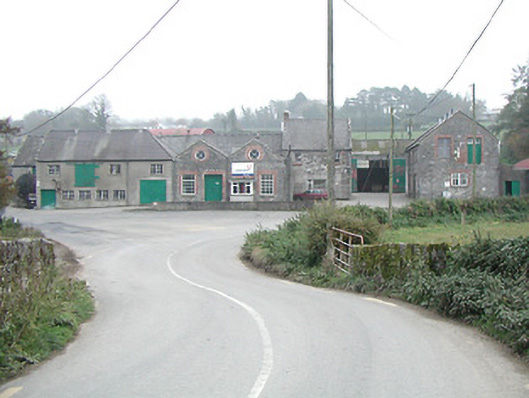 Kilmanagh Creamerycreamery · 1.2 mi
 Ballykeefe WoodForest · 1.2 mi
 Ballykeefe QuarryCliff · 1.4 mi
 Ballykeefe AmphitheatreHeritage attraction · 1.4 mi
 Site of CastleCastle, unclassified · 1.7 mi
 Saint Brigid's WellSpring · 1.9 mi
 CastleCastle, unclassified · 2.0 mi
 Killeen Fox CovertForest · 2.8 mi
Other information
Photo: Credit not shown in the picture search · Rights wording not checked; contact us if this picture should be removed