
What is recorded here
On a SW-facing slope below the summit of a hill. Indicated on the 1st (1839) ed. OS 60 inch map as a D-shaped enclosure with a barony/townland boundary running NE-SW along the E side. On the 1900 revision of this map the perimeter of the enclosure (dims. c. 38m NE-SW along straight E side, c. 34m NW-SE) is shown as a field boundary and the interior is depicted as being wet and marshy. The monument may have been truncated by the barony/townland boundary and the remaining E quadrant, though levelled, may be within the neighbouring Doorath townland. According to O'Kelly 1969, 17), this 'rath', 'on the hillside, called the Ráithín of which the late Thomas Hogan, farmer, had many stories of good luck in cow-calving at the rath, and who was determined it would remain untouched. This hill at 550' overlooks the wide plain south-westwards to Slievenaman commanding a splendid view'. On satellite imagery (Digitalglobe, viewed 7 July 2020) the monument is heavily overgrown with trees and scrub.
Compiled by: Jean Farrelly
Date of upload: 7 July 2020
A local fairy fort (ringfort/rath); wider significance not recorded.
The monument record does not grant public access. Check the route and ask the landowner before entering private land.
- What survives
- Recorded monument
Places near here
 Enclosure in KnockeenglassEnclosure · 592 yd
 OutlinedEnclosure · 724 yd
 Ballykeeffe Mass RockNamed rock · 1093 yd
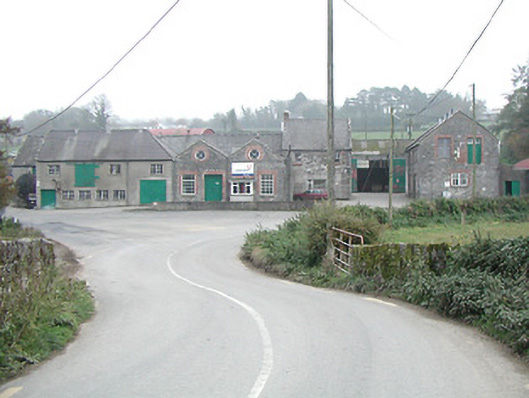 Kilmanagh Creamerycreamery · 1308 yd
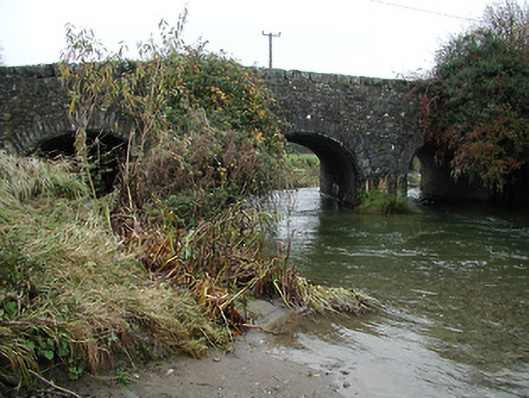 bridgebridge · 1399 yd
 Ballykeefe WoodForest · 1494 yd
 Ballykeefe QuarryCliff · 1698 yd
 Ballykeefe AmphitheatreHeritage attraction · 1718 yd
 CastleCastle, unclassified · 1.4 mi
 Castle (in ruins)Castle, unclassified · 1.8 mi
 Saint Brigid's WellSpring · 2.0 mi
 Killeen Fox CovertForest · 2.6 mi
Other information
Photo: Credit not shown in the picture search · Rights wording not checked; contact us if this picture should be removed