What is recorded here
In forestry, atop hill, where three townlands (Ballintlea South, Craig Upper and Ballyguyroe North) and three parish boundaries (Doneraile, Templeroan and Farahy) meet. Depicted as hachured circular enclosure (diam. c. 20m) on 1842 OS 6-inch map; as hachured circular mound or platform (diam. c. 40m; diam. of top c. 20m) on 1905 and 1935 OS 6-inch maps. Inaccessible due to forestry and gorse growth.
The above description is derived from the published 'Archaeological Inventory of County Cork. Volume 4: North Cork' (Dublin: Stationery Office, 2000). In certain instances the entries have been revised and updated in the light of recent research.
Date of upload/revision: 14 January 2009
The monument record does not grant public access. Check the route and ask the landowner before entering private land.
- What survives
- Recorded monument
Places near here
 Fulacht fia in Quitrent MountainFulacht fia · 1516 yd
 IndicatedKiln, lime · 1581 yd
 Coolfree MountainMountain / peak · 1.6 mi
 Fulacht fia in Skahanagh More (fermoy By.)Fulacht fia · 1.6 mi
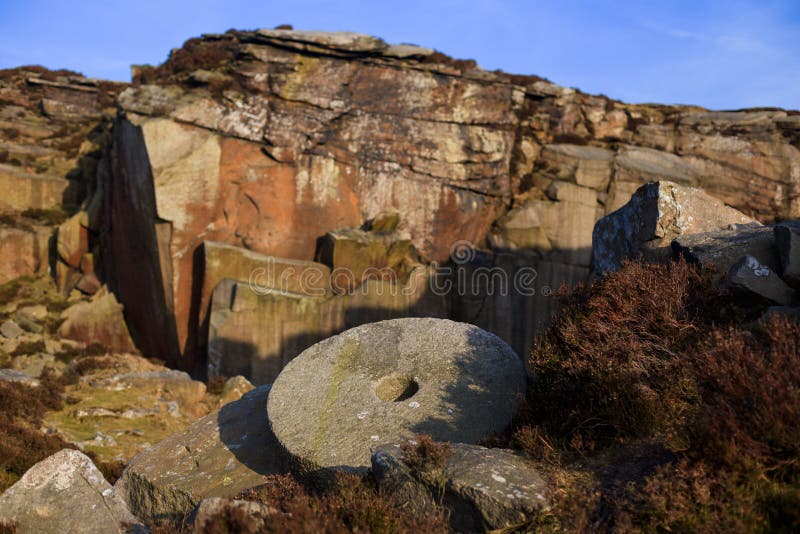 Millstone quarry in Quitrent MountainMillstone quarry · 2.0 mi
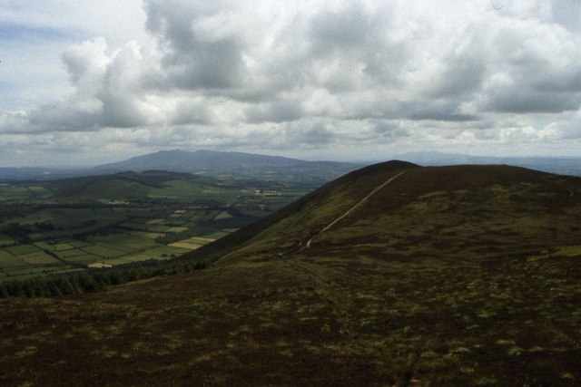 Seefin Mountain East TopMountain / peak · 2.4 mi
 North Meadow WoodForest · 2.6 mi
 Horse Field WoodForest · 2.7 mi
 ToberpatrickSpring · 3.0 mi
 CastlepookCastle · 3.0 mi
 Castle Pook (in Ruins)Castle, tower house · 3.0 mi
 Flat cemetery in Ballyenahan NorthFlat cemetery · 5.0 mi