What is recorded here
In reclaimed pasture with stream immediately to S. Cropmark of roughly D-shaped area (approx. diam. 45m) defined by a bank and external fosse visible on Google Earth orthoimage and on Digital Globe orthophoto taken 2011-13. Townland boundary with Ballynasrah lies 20m to E.
See attached Google Earth orthoimage taken 18/01/2019
Compiled by: Caimin O'Brien based on details provided by Jean-Charles Caillère
Date of upload: 12 November 2020
The monument record does not grant public access. Check the route and ask the landowner before entering private land.
- What survives
- Recorded monument
Places near here
 Cist in LugCist · 790 yd
 CairnCairn, burial cairn · 990 yd
 Castle (in ruins)House, fortified house · 1239 yd
 Saint Columba's Church (Durrow)church/chapel · 1.2 mi
 Ballyduff WoodForest · 1.5 mi
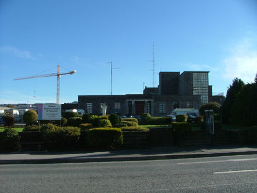 Tullamore General Hospitalhospital/infirmary · 1.6 mi
 Grand Canal WayWalking route · 1.8 mi
 Bracklin WoodWood · 2.0 mi
 St. Columba's WellSpring · 2.0 mi
 Durrow MoatCastle, motte · 2.1 mi
 Christ's WellSpring · 3.2 mi
 Bonfire HillMountain / peak · 3.6 mi