What is recorded here
On a hillock in an undulating landscape. Described as a circular area (int. diam. c. 28m) defined by the remains of a wall (Wth 2.5m) with a possible entrance at SE (Herity 1987a, 137). It is now visible as a circular grass-covered and domed area (diam. 29m E-W; 27m N-S) defined by a scarp (H 0.3m at W to 1.4m at S) E-S-NW, merging into the steep slope elsewhere. A band of reeds (Wth c. 4- 5m) outside the scarp around the summit indicates a fosse. There is a record of a cairn (RO022-083002-) just to the E. Cashel (RO022-082----) is c. 150m to the S and cairn (RO022-084001-) is c. 170m to the ENE.
Compiled by: Michael Moore
Date of upload: 24 August 2010
The monument record does not grant public access. Check the route and ask the landowner before entering private land.
- What survives
- Recorded monument
Places near here
 Lisnacross FortFairy fort / earthen ringfort · 574 yd
 Embanked enclosureFairy fort / earthen ringfort · 907 yd
 RoadRoad, road/trackway · 1745 yd
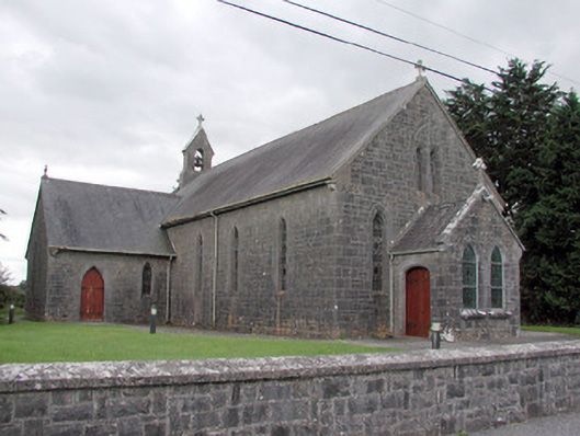 Saint Catherine's Catholic Churchchurch/chapel · 1.0 mi
 CastleCastle, unclassified · 1.6 mi
 Cruachan Aí Heritage CentreMuseum · 1.7 mi
 European ashEuropean ash · 2.0 mi
 ToberagullaSpring · 2.0 mi
 War of Independence Commemorative Military MemorialMemorial · 2.9 mi
 CastlerubyCastle, unclassified · 3.4 mi
 Sweet ChestnutSweet Chestnut · 6.5 mi
 Silver IslandIslet · 9.0 mi