What is recorded here
Indicated is a graveyard in County Cavan, Ireland, though no visible marker, date or story survives to show whose hands first dug its rows. It may have held farmers, travellers or forgotten children, their names worn flat by rain and time. The land itself remembers what people lost, keeping shape in soil rather than stone.
The Archaeological Survey of Ireland (ASI) is in the process of providing information on all monuments on The Historic Environment Viewer (HEV). Currently the information for this record has not been uploaded. To access available information for research purposes please make an appointment in advance with the Archive Unit (open Fridays 10.00 am – 5.00 pm), Department of Housing, Local Government and Heritage, The Custom House, Dublin 1 D01W6XO or email NMarchive@housing.gov.ie.
The monument record does not grant public access. Check the route and ask the landowner before entering private land.
- What survives
- Recorded monument
Places near here
 Church in EdenburtChurch · 6 yd
 Mote of DerverArchaeological place · 634 yd
 FortsCastle, motte and bailey · 639 yd
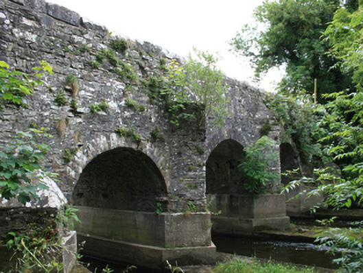 O'Daly's Bridgebridge · 675 yd
 EnclosureEnclosure, large enclosure · 1.3 mi
 Balgree MoteCastle, motte · 1.4 mi
 Woodpole Fox CovertWood · 1.5 mi
 Feegat ForestWood · 1.6 mi
 Cloghbally LowerMountain / peak · 2.7 mi
 MaperathMountain / peak · 3.1 mi
 Crow IslandIslet · 3.3 mi
 Sally IslandIslet · 3.4 mi