What is recorded here
The following description is derived from both the published 'Archaeological Inventory of County Louth' (Dublin: Stationery Office, 1986) and the 'Archaeological Survey of County Louth' (Dublin: Stationery Office, 1991). In certain instances the entries have been revised and updated in the light of recent research.
Two scatters of burnt stone (diam. of each c. 12m) near small stream, visible after ploughing when inspected in 1966 (see also LH003-031003-).
Date of revision: 10 November 2011
Revised by: Claire Breen
The monument record does not grant public access. Check the route and ask the landowner before entering private land.
- What survives
- Recorded monument
Places near here
 Roche CastleCastle, Anglo-Norman masonry castle · 365 yd
 Enclosure in Roche (dundalk Upr By; Roche Par.)Enclosure · 645 yd
 Enclosure in Shortstone EastEnclosure · 935 yd
 Bawn in Shortstone EastBawn · 937 yd
 Sky HillMountain / peak · 1537 yd
 Slieve Cottagefarm house · 1615 yd
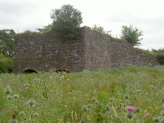 kilnkiln · 1716 yd
 Ballsmill Amenity LandPicnic place · 1.2 mi
 Forkhill Greenspace PathwayWalking route · 2.8 mi
 CroslieveMountain / peak · 2.9 mi
 Mass Rock Loop TrailWalking route · 3.0 mi
 Ring of Gullion Way - ForkhillVisitor information · 3.0 mi