What is recorded here
Fearann Na Cille holds a triangular calluragh burial ground beside the lost church that named the townland. Its turf-covered stones and edge-set markers still define a shallow basin on the west slope, overlooking the mouths of the Glennahoo and Scorid rivers. The church is gone, but Páirc na Cille and the buried boundary wall preserve the shape of a place where people once set the dead apart from living fields.
Kyle burial ground (KE035-042003-): The church (KE035-042002-) from which this townland derives its name no longer survives, though the field on the E side of the bridge across the Glennahoo river bears the name Páirc na Cille. Another field on the E side of the latter contains the remains of a roughly triangular calluragh burial ground. The enclosure measures 34m N-S x 17.6m E-W. Its E side is defined by the straight townland boundary wall which, in places, appears to overlie the collapsed remains of the enclosure wall. The NNW side is defined by a slightly curving bank of turf-covered stones, up to 1m high, and the SW side by a few stones set on edge and by a slightly curving scarp, the interior being raised up to .9m above the external ground level on this downhill side. The site lies on the W slopes of a low hill, overlooking the mouths of the Glennahoo and Scorid rivers.
The above description is derived from J. Cuppage, ‘Corca Dhuibhne. Dingle Peninsula archaeological survey. Ballyferriter. Oidhreacht Chorca Dhuibhne’ (1986), no. 837. In certain instances the entries have been revised and updated in the light of recent research.
Date of upload: 8 August 2013
The monument record does not grant public access. Check the route and ask the landowner before entering private land.
- What survives
- Recorded monument
Places near here
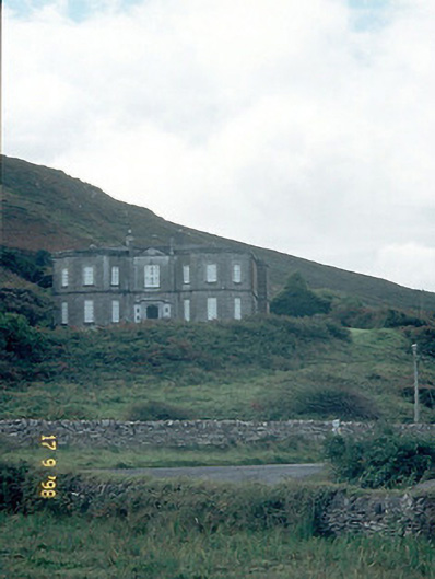 Fermoyle Househouse · 703 yd
 Site of CastleCastle, unclassified · 739 yd
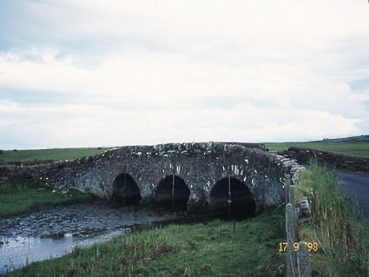 bridgebridge · 920 yd
 Hut site in An Droim ThoirHut site · 1046 yd
 Drom BeachBeach / strand · 1195 yd
 Enclosure in Cnoc Na NgabharEnclosure · 1226 yd
 Hillville WoodWood · 1399 yd
 An t'Oileán DubhIslet · 1.2 mi
 An CheapaighBeach / strand · 1.4 mi
 Pointe na CathrachHeadland · 1.8 mi
 Binn an TuairMountain / peak · 1.9 mi
 An Com BánMountain / peak · 2.1 mi