What is recorded here
Half a mile of river road leads to a buried fort. Toirdhealbhach O'Connor raised Dún Leodha in 1124 beside the River Suck, and people may have kept its ridge alive long after kings stopped naming it. The chapel built there in 1852 stands above what memory and excavation both point to: a old defensible place at a crossing, not merely a empty patch of town.
On W bank of the River Suck in the centre of Ballinasloe town, the site lies close to an ancient ford and bridging point (GA088-047----). There is a strong local tradition (Egan 1960, 161) that the present RC church (GA088-028001-), built 1852-7 to replace an earlier chapel (GA088-028002-), occupies the site of 'Dún Leodha'. According to the Annals, the latter was built in 1124 by Toirdhealbhach O'Connor, King of Connacht (quoted in Hardiman 1846, 31). Writing in 1837, O'Donovan states that 'parts of its ramparts may still be traced … within and without the enclosure … [of] the R.C. Chapel' (quoted in Egan 1960, 161). Working from oral sources, O'Donovan also relates that, prior to the construction of the chapel, c. 1807, it 'presented the appearance of a truncated cone' and that 'many oak coffins were found' when levelling it (Alcock et. al. 1999, 256).
Revised by: Olive Alcock
Date of revised upload: 9 July 2021
The monument record does not grant public access. Check the route and ask the landowner before entering private land.
- What survives
- Recorded monument
Places near here
 Saint Michael's Catholic Churchchurch/chapel · 7 yd
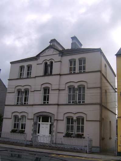 Teach an tSagairtconvent/nunnery · 190 yd
 Bawn in Townparks (moycarn By. - Ballinasloe)Bawn · 568 yd
 Enclosure in Ashford,rooaun (moycarn By.)Enclosure · 1422 yd
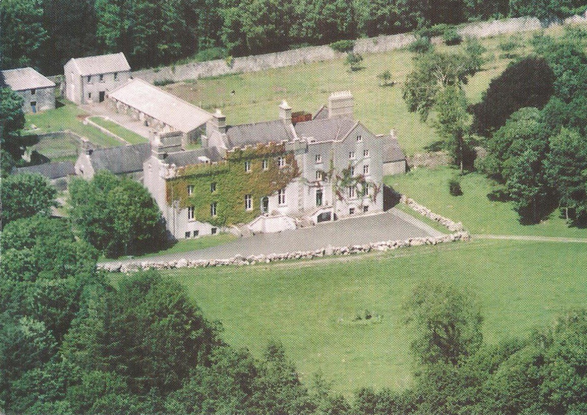 Enclosure in CreaghEnclosure · 1732 yd
 West WoodWood · 2.0 mi
 Ardcarn IslandsIslet · 2.2 mi
 Urraghry HillMountain / peak · 3.2 mi
 Clooncoran IslandIsland · 3.5 mi
 Castle ParkCastle, unclassified · 3.5 mi
 The bloody HollowHeritage attraction · 4.3 mi
 Battle of Aughrim Interpretative CentreMuseum · 4.4 mi