What is recorded here
In pasture on summit of Knockbrack Hill, 250m S of the townland boundary with Mortlestown. Enclosure (LI056-033----) lies 450m to SE. Depicted on the 1840 ed. OSi 6-inch map as a circular-shaped area (diam. c. 28m) defined by a scarp, surrounded by a quarry from N-E-SE. Not shown on the 1897 ed. OSi 25-inch map where the area of the and pit has expanded into the area where the earthwork was located. A lime kiln is depicted standing on the W edge of the quarry. No surface remains visible on Google Earth orthoimages where farm buildings are located to immediate S. Earthwork was quarried out in the 19th century when the sand pit was enlarged.
See attached Google Earth orthoimages.
Compiled by: Martin Fitzpatrick
Date of upload: 18 November 2021
The monument record does not grant public access. Check the route and ask the landowner before entering private land.
- What survives
- Recorded monument
Places near here
 Cathair na caillighe - HachuredFairy fort / earthen ringfort · 510 yd
 BarrowBarrow, bowl-barrow · 627 yd
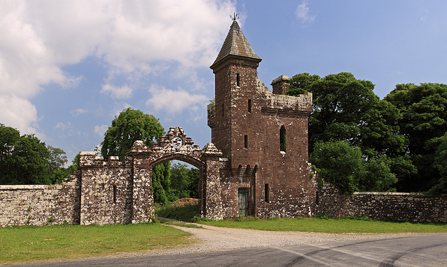 Castle Olivergate lodge · 1146 yd
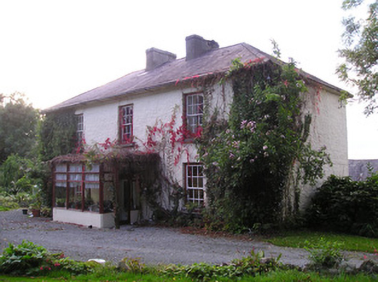 Mortlestown Househouse · 1183 yd
 Gooseberry HillMountain / peak · 1.7 mi
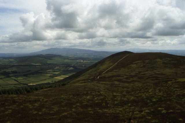 Seefin Mountain East TopMountain / peak · 1.7 mi
 Ballyhoura tourist informationVisitor information · 2.1 mi
 Treada Na Ríogh (The Moat), hachuredCastle, motte · 2.2 mi
 Castle (in ruins)Castle, tower house · 2.2 mi
 ToberpatrickSpring · 2.4 mi
 Palatine's RockNamed rock · 3.0 mi
 Ballyhoura WayWalking route · 3.1 mi