
What is recorded here
In pasture, immediately E of townland boundary with Sunville Upper. Holy Well (LI056-009001-) lies 270m to the E. Depicted on the 1840 ed. OSi 6-inch map as a sub-circular raised area defined by a scarp, intersected at SE by a post-1700 field boundary running NE-SW. Shown on the 1897 ed. OSi 25-inch map as a circular mound with fosse and external bank. No surface remains visible on Digital Globe orthoimage taken between 2011-2013 or on Google Earth orthoimages.
See attached Google Earth orthoimage
Compiled by: Fiona Rooney
Date of upload: 23 November 2021
Bowl barrow, likely dating to the Early Bronze Age. Its presence indicates a tradition of burial and ritual activity in the Mortlestown area during the prehistoric period.
The monument record does not grant public access. Check the route and ask the landowner before entering private land.
- What survives
- Recorded monument
Places near here
 Cathair na caillighe - HachuredFairy fort / earthen ringfort · 248 yd
 Mound in MortlestownMound · 798 yd
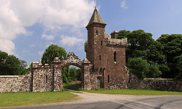 Castle Olivergate lodge · 852 yd
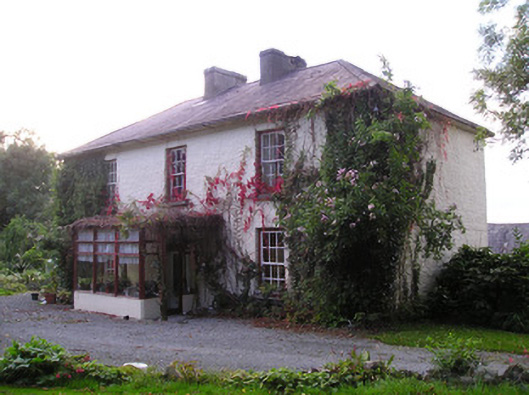 Mortlestown Househouse · 1362 yd
 Gooseberry HillMountain / peak · 1.4 mi
 Keale MountainMountain / peak · 1.7 mi
 Ballyhoura tourist informationVisitor information · 1.9 mi
 Treada Na Ríogh (The Moat), hachuredCastle, motte · 1.9 mi
 Castle (in ruins)Castle, tower house · 2.0 mi
 ToberpatrickSpring · 2.2 mi
 Palatine's RockNamed rock · 2.7 mi
 Ballyhoura WayWalking route · 2.8 mi
Other information
Photo: Credit not shown in the picture search · Rights wording not checked; contact us if this picture should be removed