
What is recorded here
Cathair na caillighe is a circular earthen ringfort in County Limerick, preserved beneath pasture and marked by a broken bank that once enclosed thirty-two metres of human life. The name suggests a witchs fort, yet no witch is recorded there. Only the shape remains: a rounded room without walls, waiting for the story that built it.
In pasture 180m S of the townland boundary with Mortlestown. Enclosure (LI056-008----) lies 195m to NE. Depicted on the 1897 ed. OSi 25-inch map as a raised circular-shaped area (diam. c. 32m) enclosed by a bank from S-N-E, incorporated into a field boundary elsewhere. Truncated at SE by a field boundary running NE-SW. Annotated ‘Cathair na caillighe’ on the Cassini ed. OSi 6-inch map. Monument is visible as a circular-shaped area delimited by trees on Google Earth orthoimages.
See attached Google Earth orthoimages.
Compiled by: Martin Fitzpatrick
Date of upload: 17 November 2021
Cathair na caillighe is a likely early-medieval ringfort, indicated by its circular, banked structure visible on the 1897 Ordnance Survey map. The name, meaning "Fort of the Cailleach," suggests a possible folkloric association with a mythical female figure or hag in Irish tradition.
The monument record does not grant public access. Check the route and ask the landowner before entering private land.
- What survives
- Recorded monument
Places near here
 BarrowBarrow, bowl-barrow · 248 yd
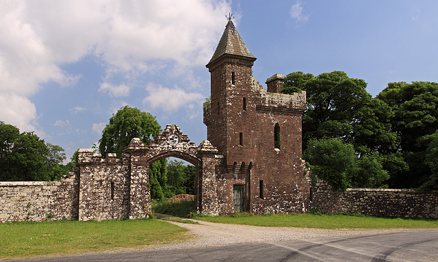 Castle Olivergate lodge · 715 yd
 Mound in MortlestownMound · 1012 yd
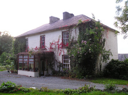 Mortlestown Househouse · 1471 yd
 Gooseberry HillMountain / peak · 1.4 mi
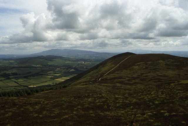 Seefin Mountain East TopMountain / peak · 1.6 mi
 Ballyhoura tourist informationVisitor information · 2.0 mi
 Treada Na Ríogh (The Moat), hachuredCastle, motte · 2.0 mi
 ToberpatrickSpring · 2.1 mi
 Castle (in ruins)Castle, tower house · 2.1 mi
 Palatine's RockNamed rock · 2.8 mi
 Ballyhoura WayWalking route · 2.9 mi
Other information
Photo: Credit not shown in the picture search · Rights wording not checked; contact us if this picture should be removed