What is recorded here
In reclaimed pasture. Holy Well ( LI041-008----) lies 180m to SE. Not depicted on OSi historic maps. Possible enclosure identified by the Bruff aerial photographic survey in 1986 (Bruff 17; AP 5/2127). Visible as a ridge running NW-SE to the S of an area of low vegetation on Digital Globe orthoimage taken between 2011-13. No surface remains visible on Google Earth orthoimages. Doubtful antiquity, may be a natural hillock in wet grassland.
See attached Bruff aerial photograph and Google Earth orthoimages.
Compiled by: Martin Fitzpatrick
Date of upload: 4 August 2021
The monument record does not grant public access. Check the route and ask the landowner before entering private land.
- What survives
- Recorded monument
Places near here
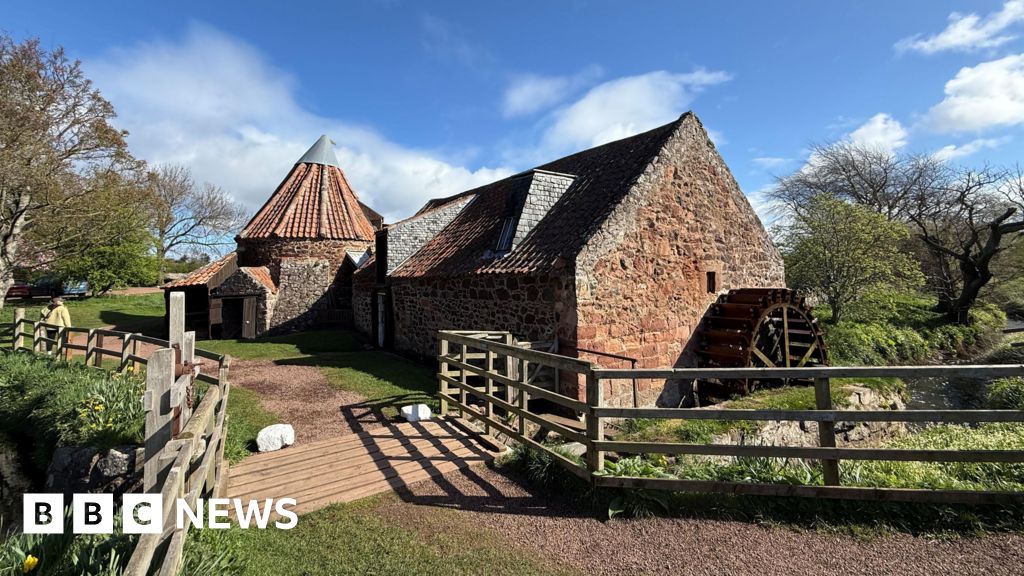 MillMill, unclassified · 305 yd
 St Patrick's WellSpring · 383 yd
 St. Patricks and St Pauls WellsHoly well · 394 yd
 RoadRoad, road/trackway · 406 yd
 Castle (in ruins)Castle, tower house · 446 yd
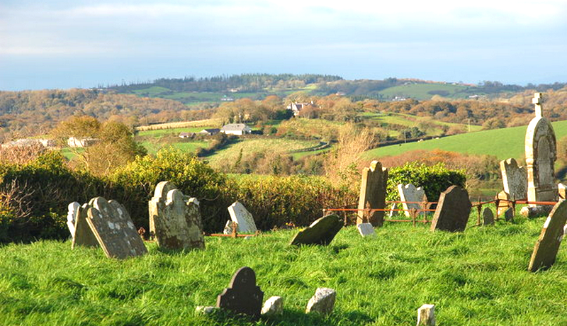 Grave YardGraveyard · 548 yd
 Mote - HachuredCastle, motte · 1.6 mi
 Saint Patrick's WellSpring · 1.7 mi
 Ballinvreena LoopVisitor information · 3.2 mi
 Flat cemetery in Knockainy WestFlat cemetery · 3.5 mi
 SlievereaghMountain / peak · 3.7 mi
 Palatine's RockNamed rock · 5.4 mi