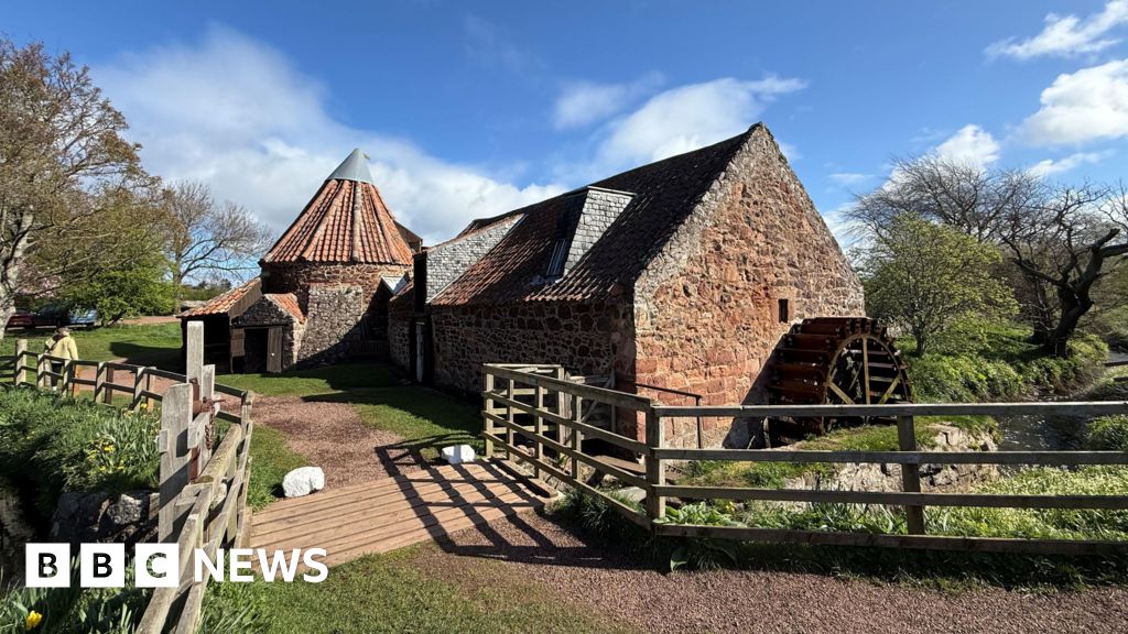
What is recorded here
The Civil Survey of 1654-56 recorded that Sir Moris Hurly of Cnocklong an Irish Papist was in the possession of 'a ruined Castle (LI041-004005-) a Mill, with two Faires a Courte Leet & Court Baron' (Simington 1938, 233).
Situated on flat poorly drained grassland overlooked by O'Hurley's Castle (LI041-004005-) 130m to SW and Knocklong Church (LI041-004002-) and graveyard (LI041-004003-) 200m to SW. St. Patrick's and St. Paul's Well's (LI041-004006-/008-) located 35m to S. Square-shaped area (approx. dims. 40m N-S x 38m E-W) defined by a scarp and external ditch which appears to have been a water-filled moat before the field was reclaimed. A field drainage ditch intersects monument at NW angle and a second leat or water drainage channel intersects the SE corner. A series of linear drainage ditches are clearly in the field to the N of the square-shaped earthwork. It is possible that the earthwork was created during the land reclamation works visible in this poorly drained field rather than the remains of a medieval moated mill-site. Outline of monument is clearly visible on Digital Globe aerial photographs. No monument depicted at this location on any edition of the OS six-inch maps.
Compiled by: Caimin O'Brien
Date of upload: 20 June 2019
The monument record does not grant public access. Check the route and ask the landowner before entering private land.
- What survives
- Recorded monument
Places near here
 St Patrick's WellSpring · 79 yd
 St. Patricks and St Pauls WellsHoly well · 90 yd
 RoadRoad, road/trackway · 126 yd
 Castle (in ruins)Castle, tower house · 164 yd
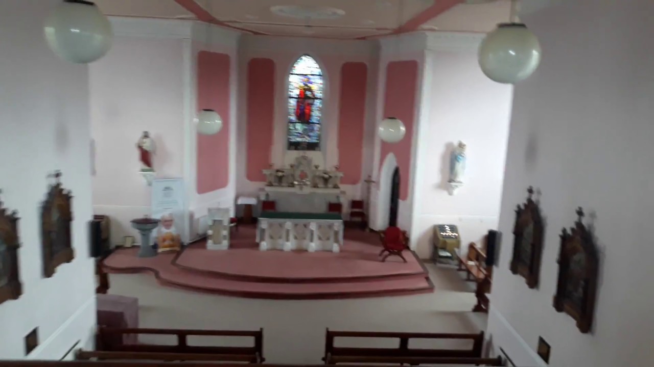 Church (in Ruins)Church · 252 yd
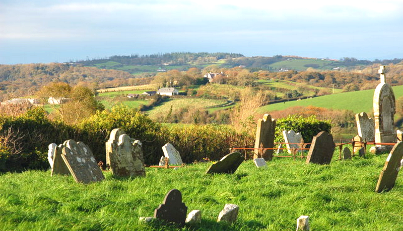 Grave YardGraveyard · 264 yd
 Saint Patrick's WellSpring · 1.5 mi
 Ryves CastleCastle, unclassified · 1.6 mi
 Ballinvreena LoopVisitor information · 3.0 mi
 SlievereaghMountain / peak · 3.6 mi
 Flat cemetery in Knockainy WestFlat cemetery · 3.6 mi
 Palatine's RockNamed rock · 5.3 mi
Other information
Photo: Credit not shown in the picture search · Rights wording not checked; contact us if this picture should be removed