
What is recorded here
Linear feature which is visible on the ground as a low terrace and is partially hachured on the OS 6-inch map immediately E of O'Hurley's Castle (LI041-004005-) could be the remains of a medieval roadway that is depicted running past this castle on the 1654-7 Down Survey map of Down and Long parish map (NLI, MS 718).
Compiled by: Caimin O'Brien
Date of upload: 20 June 2019
See attached ASI aerial photographs ASIAP – 343/14 and 16 on 05/01/2003.
The monument record does not grant public access. Check the route and ask the landowner before entering private land.
- What survives
- Recorded monument
Places near here
 Castle (in ruins)Castle, tower house · 41 yd
 St Patrick's WellSpring · 74 yd
 St. Patricks and St Pauls WellsHoly well · 77 yd
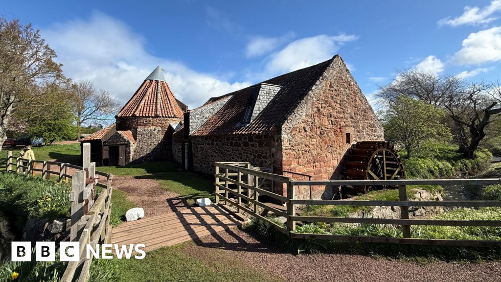 MillMill, unclassified · 126 yd
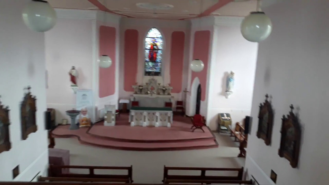 Church (in Ruins)Church · 130 yd
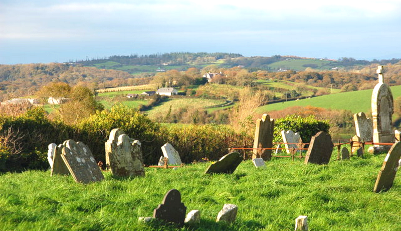 Grave YardGraveyard · 143 yd
 Edmund's WellSpring · 1.5 mi
 Ryves CastleCastle, unclassified · 1.6 mi
 Ballinvreena LoopVisitor information · 3.0 mi
 SlievereaghMountain / peak · 3.5 mi
 Flat cemetery in Knockainy WestFlat cemetery · 3.6 mi
 Palatine's RockNamed rock · 5.2 mi
Other information
Photo: Credit not shown in the picture search · Rights wording not checked; contact us if this picture should be removed