What is recorded here
On a S-facing slope in rolling grassland. Rectangular enclosure (NE-SW 17.5m, NW-SE 16.8m), in fair condition, defined by a bank of earth and stone. There is a gap in the bank in W corner. The E half of the interior has been quarried out, exposing burnt stone and dark soil along its SE edge.
The above description is derived from the published 'Archaeological Inventory of County Galway Vol. II - North Galway'. Compiled by Olive Alcock, Kathy de hÓra and Paul Gosling (Dublin: Stationery Office, 1999).
Date of upload: 05 August 2010
The monument record does not grant public access. Check the route and ask the landowner before entering private land.
- What survives
- Recorded monument
Places near here
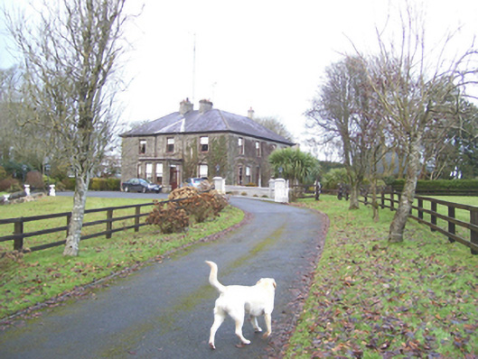 Mayfield Househouse · 409 yd
 Enclosure in SlievedarraghEnclosure · 627 yd
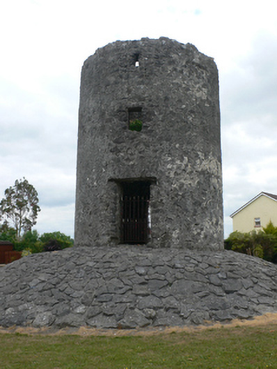 mill (wind)mill (wind) · 1339 yd
 LisseenyFairy fort / earthen ringfort · 1372 yd
 Castle (in ruins)Castle, tower house · 1.2 mi
 CastleCastle, unclassified · 1.3 mi
 European ashEuropean ash · 2.7 mi
 Mass RockNamed rock · 4.3 mi
 KnockmaaWood · 6.5 mi
 Kilcoona Round TowerHeritage attraction · 10 mi
 Ballinduff BayBay · 12 mi
 Enclosure in BracklaghEnclosure · 1576 yd