What is recorded here
In level pasture, to E, S and W of enclosure (TS068-066001-). No visible surface trace. Visible as upstanding earthworks on aerial photograph (CUCAP July 1966, AOZ 89) and as cropmarks by 1970 on aerial photograph (CUCAP July 1970, BDR 95) consisting of a square enclosure, a rectangular enclosure, a roughly D-shaped earthwork, a linear cropmark extending (long-axis E-W; L c. 75m) from SW of enclosure (TS068-066001-), a linear cropmark (L c. 77m) extending on same alignment from SE side of enclosure and a third linear cropmark (long-axis N-S; L c. 75m) located c. 50m to S of enclosure. Two enclosures (TS068-066003- and TS068-066004-) are located c. 170m and c. 190 to the N and NE respectively.
Compiled by: Jean Farrelly
Date of upload: 26 August 2011
The monument record does not grant public access. Check the route and ask the landowner before entering private land.
- What survives
- Recorded monument
Places near here
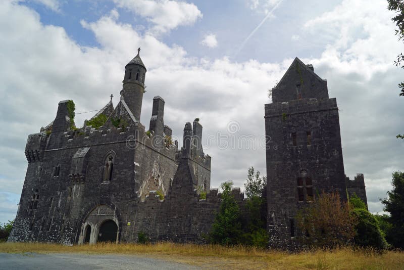 Enclosure in Templenoe (killeenasteena Par.)Enclosure · 1406 yd
 Garranlea Church (in ruins)Church · 1445 yd
 Bawn in GarranleaBawn · 1518 yd
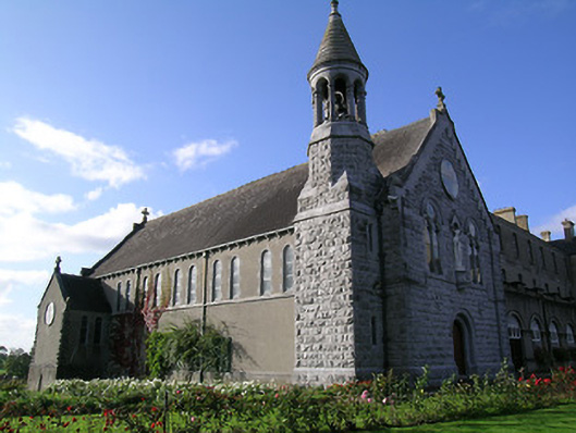 Rockwell Collegechurch/chapel · 1677 yd
 Boytonrath Castle (in ruins)Castle, unclassified · 1.1 mi
 RathbaneFairy fort / earthen ringfort · 1.2 mi
 Athassel PrioryHeritage attraction · 3.1 mi
 Hore AbbeyHeritage attraction · 3.9 mi
 Caucasian zelkovaCaucasian zelkova · 4.8 mi
 Cappa WoodWood · 5.5 mi
 SturrakeenMountain / peak · 7.7 mi
 Laghtshanaquilla North-East TopMountain / peak · 8.3 mi