What is recorded here
In rough, level pasture. Possibly associated with ring-barrow (TS067-052002-). Linear depression (Wth c. 3m; D 0.3m) extends (long-axis N-S) (L c. 90m) along E side of ring-barrow and curving gently to W (L c. 180m) along the N side. Concurs with a curvilinear feature extending around monument NW-N-E-SSE as shown on aerial photo (Air Corps V. 311/2946-7; R505/6). Possibly a levelled field boundary, land drain or drainage channel as it extends from the stream to S and is in wet area of field. A mound (dims. c. 3.5m N-S; c. 8m E-W; H c. 0.45m) is located in N-side of outer fosse of ring-barrow.
Compiled by: Jean Farrelly
Date of upload: 26 August 2011
The monument record does not grant public access. Check the route and ask the landowner before entering private land.
- What survives
- Recorded monument
Places near here
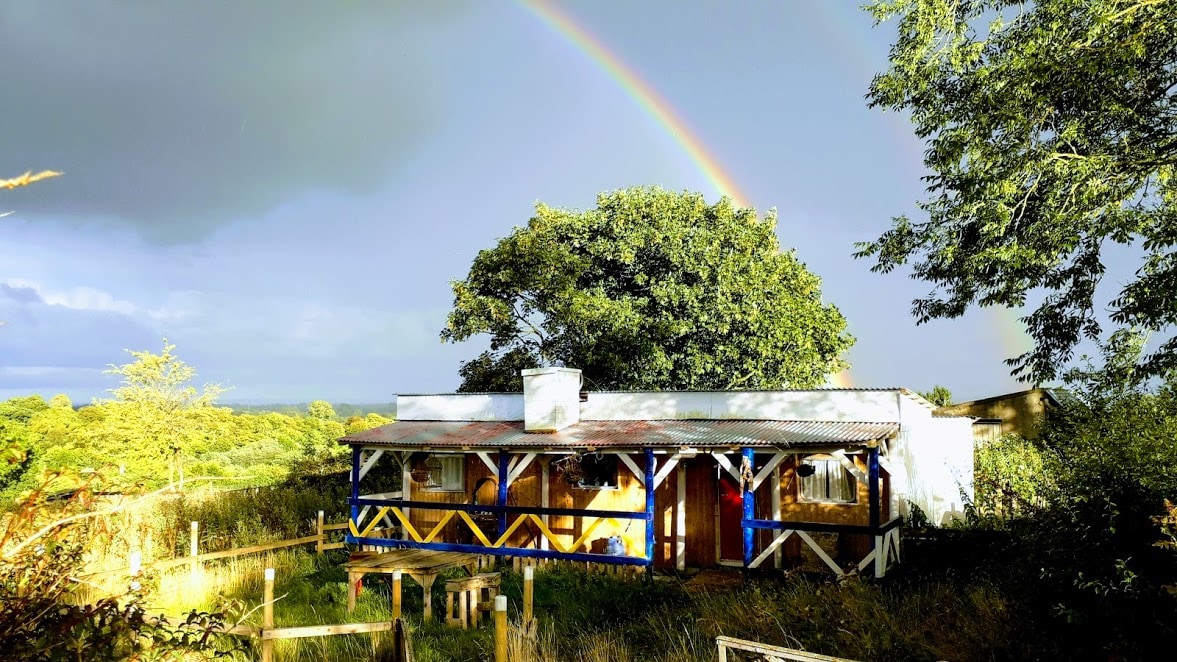 Enclosure in Ballyglass Lower (clonpet Par.),ballyglass Lower (cordangan Par.)Enclosure · 346 yd
 Enclosure in Ballyglass Upper (clonpet Par.)Enclosure · 480 yd
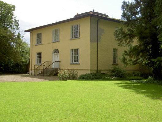 Brookville Househouse · 548 yd
 Breansha Castle ruinsCastle · 882 yd
 Bawn in Breansha MoreBawn · 891 yd
 The RockViewpoint · 1116 yd
 Christ the KingViewpoint · 1.1 mi
 Glen of AherlowViewpoint · 1.1 mi
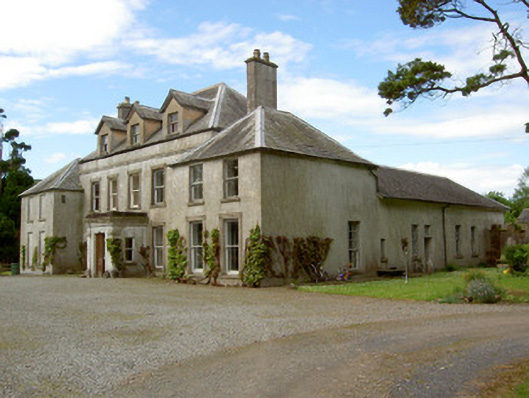 Cordangan Manorcountry house · 1.2 mi
 The Maid of ErinMemorial · 1.9 mi
 Bansha ForestForest · 1.9 mi
 It's a long way to TippereryHeritage attraction · 2.0 mi