What is recorded here
Two lofty pillars leaned together inside a circular enclosure, touching like conspirators before men broke them and erased the mark. They stood eight to ten feet high on a gentle slope in County Limerick, visible enough for Westropp to describe them and for the 1841 survey to record the site. Now pasture covers the place, depriving the stones of their shape but not of their company.
In pasture, on very gentle ESE-facing slope. Monument, depicted on 1841 OS 6-inch map as circular (diam. c. 50m) enclosure, has been levelled. No trace of monument evident when inspected. This is probably site described by Westropp (1916-17, 35) as 'an interesting dun 90 feet across (LI019-101----), with two lofty pillars 8 feet to 10 feet high, leaning towards each other' but which had been 'levelled, being just traceable' and the pillars 'broken up'.
Compiled by: Denis Power
Date of Upload: 3 August 2012
The monument record does not grant public access. Check the route and ask the landowner before entering private land.
- What survives
- Recorded monument
Places near here
 Rathfarra - HachuredFairy fort / earthen ringfort · 810 yd
 Slab-lined burial in MoigSlab-lined burial · 835 yd
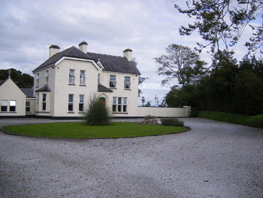 The Presbyteryhouse, presbytery/parochial/curate's house · 867 yd
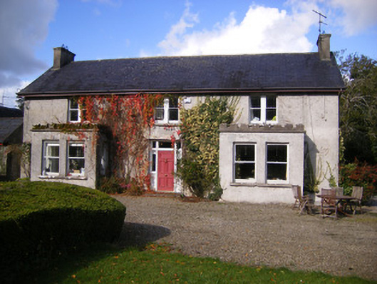 Kilcosgrave Househouse · 1589 yd
 Site of CastleCastle, unclassified · 1608 yd
 CastleCastle, unclassified · 1.3 mi
 St. Luke's WellSpring · 3.1 mi
 St. Kieran's WellSpring · 4.0 mi
 Foynes Flying Boat & Maritime MuseumMuseum · 4.4 mi
 Foynes Island ViewpointViewpoint · 4.6 mi
 Gammarel PointHeadland · 4.8 mi
 Monterey CypressMonterey Cypress · 4.9 mi