
What is recorded here
Detached four-bay single-storey rubble stone Church of Ireland school with half-dormer attic, dated 1846, on a T-shaped plan comprising two-bay single-storey gabled projecting central bay with single-bay single-storey recessed flanking end bays to north and to south having single-bay single-storey lean-to infill porches to corners. Extensively renovated, c.1995, to accommodate residential use. Pitched slate roofs on a T-shaped plan (lean-to to porches) with red clay ridge tiles, rendered chimney stack, replacement square rooflights, c.1995, replacement decorative timber bargeboards, c.1995, and replacement uPVC rainwater goods, c.1995, on timber eaves. Random rubble sandstone walls with cut-stone date stone to gable. Square-headed window openings with cut-limestone sills, and some with cut-limestone lintels. Replacement uPVC casement windows, c.1995. Square-headed door openings with replacement glazed timber panelled doors, c.1995. Set back from road in grounds originally shared with Saint Mary’s Church with random rubble stone boundary wall to perimeter of site having cut-stone coping, and random rubble stone piers with rendered capping.
A picturesque small-scale school of particular significance in the locality as one of the earliest-surviving educational facilities in Dungarvan, and one sponsored by the Church of Ireland church. Although now facilitating an alternative use, the school retains most of its original form and some of its early character, although the inappropriate replacement fittings to the window openings have not enhanced the visual appeal of the composition.
This does not grant access. Most recorded buildings are privately owned; view them only from public ground unless the owner allows entry.
Places near here
 Church (in ruins)Church · 48 yd
 Saint Mary's Church (Dungarvan)church/chapel · 60 yd
 Grave YardGraveyard · 74 yd
 Town defences in DungarvanTown defences · 93 yd
 Waterford County MuseumMuseum · 170 yd
 Dungarvan World War I MemorialMemorial · 234 yd
 Dungarvan Castle (in Ruins)Castle, Anglo-Norman masonry castle · 277 yd
 Dungarvan CastleCastle · 279 yd
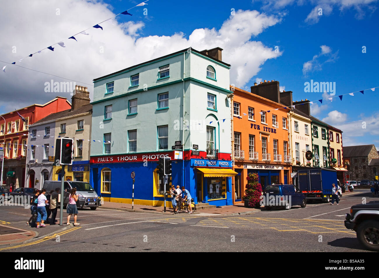
 Grattan SquareVisitor information · 350 yd
 Castle (in ruins)Castle, tower house · 626 yd
 Cunnigar PointHeadland · 627 yd
 Horse-chestnutHorse-chestnut · 2.2 mi
Other information
Photo: National Inventory of Architectural Heritage · Website use allowed for educational or private purposes with source credit