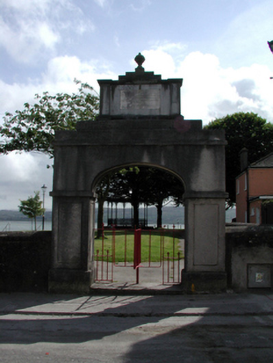
What is recorded here
Park, 1895-6, on a wedge-shaped site with rendered boundary wall to perimeter having rendered rounded coping. Street fronted.
A park laid out (1895-6) to designs (1894) by Michael Beary (1841-1917), Borough Surveyor for Dungarvan (appointed 1882). NOTE: A meeting of the Dungarvan Town Commissioner (3rd September 1894) saw the members 'determine to establish a Public Park for the use and enjoyment of the people of Dungarvan [applying] portion of the grant [£1,750] of the late William Gibbons [1827-93] towards carrying out the subject matter of this resolution'. A commemorative plaque by Edward O'Shea (1855-1910) of Kilkenny proved contentious owing to the inclusion of the names of the Dungarvan Town Commissioners and, on the instruction of the widowed Mary Anne Gibbons (1831-1915), a replacement plaque was installed recording 'THE LARGE SUM OF MONEY SO GENEROUSLY BEQUEATHED FOR THE BENEFIT OF HIS FELLOW TOWNSPEOPLE BY THE LATE WILLIAM GIBBONS 1894'.
This does not grant access. Most recorded buildings are privately owned; view them only from public ground unless the owner allows entry.
Places near here
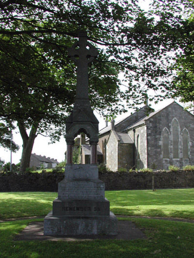 The Parkmonument · 47 yd
 Saint Mary's Church (Dungarvan)church/chapel · 69 yd
 Structure in DungarvanStructure · 93 yd
 Grave YardGraveyard · 101 yd
 Dungarvan World War I MemorialMemorial · 212 yd
 Waterford County MuseumMuseum · 241 yd
 Dungarvan Castle (in Ruins)Castle, Anglo-Norman masonry castle · 246 yd
 Dungarvan CastleCastle · 247 yd
 Grattan SquareVisitor information · 422 yd
 Cunnigar PointHeadland · 531 yd
 Castle (in ruins)Castle, tower house · 532 yd
 Horse-chestnutHorse-chestnut · 2.2 mi
Other information
Photo: National Inventory of Architectural Heritage · Website use allowed for educational or private purposes with source credit