What is recorded here
On a gentle W-facing slope in improved pasture, with a second moated site (KD004-012----) c. 120m to the E. A dry meander indicates where a stream formerly flowed close by to the W. A poorly preserved, almost square area (int. dims. L 29m E-W; Wth 27m N-S) the interior of which is raised slightly (H 0.4m) above the surrounding ground along the S and W, is defined by a shallow fosse (Wth 1.9m along S - 4m along E; D 0.2m) from the SE corner of which a leat runs S (L 25m; Wth 1.5m; D 0.2m) to join a small stream flowing W. In 1955 the site possessed an outer bank, and an entrance at NW (SMR file), but neither feature is visible at ground level. The site is heavily poached by grazing sheep.
Compiled by: Gearóid Conroy
Date of upload: 10 June 2011
The monument record does not grant public access. Check the route and ask the landowner before entering private land.
- What survives
- Recorded monument
Places near here
 Fuaran WellHoly well · 142 yd
 Site of Dunfierth CastleCastle, unclassified · 738 yd
 Dunfierth ChurchChurch · 757 yd
 Enclosure in DysartEnclosure · 893 yd
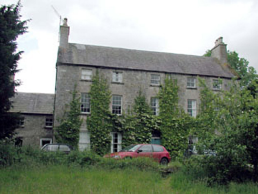 Metcalfe Parkcountry house · 1.2 mi
 The Grill ShackHeritage attraction · 2.6 mi
 Cloncurry GraveyardHeritage attraction · 2.7 mi
 Cloncurry MoatCastle, motte · 2.7 mi
 Old Bog Road made famous by Teresa Bryton 1868-1943Memorial · 3.7 mi
 9/11 MemorialMemorial · 4.3 mi
 European ashEuropean ash · 4.6 mi
 Horse-chestnutHorse-chestnut · 5.9 mi