What is recorded here
Graveyard in Dunfierth holds a medieval church on a narrow ridge beside a lost castle, with ivy clinging to its stone wall and burial markers scattered around the building. The place still carries the shape of old faith and local memory, even when the names have faded.
On the gentle W-facing slope of a low, narrow, N-S pasture ridge. A castle (KD004-006----) stood c. 60m to the E. A rectangular embanked area (dims L c. 50m E-W; Wth c. 40m; ext. H 1.5m) with an ivy-clad, dry-stone retaining wall at the base of the embankment along the S contains a medieval church (KD004-005001-) to W of centre. Legible burial markers dating to the 18th century and 19th century are concentrated to the S of the church, with more recent burials to the E. Numerous architectural fragments occur, some of which may have come from the castle.
Compiled by: Gearóid Conroy
Date of upload: 10 June 2011
The monument record does not grant public access. Check the route and ask the landowner before entering private land.
- What survives
- Recorded monument
Places near here
 Dunfierth ChurchChurch · 6 yd
 Site of Dunfierth CastleCastle, unclassified · 82 yd
 Fuaran WellHoly well · 789 yd
 Enclosure in DysartEnclosure · 1247 yd
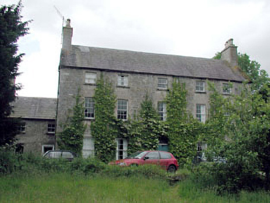 Metcalfe Parkcountry house · 1399 yd
 Bawn in Newcastle (moyfenrath Lower By.)Bawn · 2.4 mi
 European ashEuropean ash · 2.5 mi
 Cloncurry GraveyardHeritage attraction · 2.5 mi
 The Grill ShackHeritage attraction · 3.0 mi
 Old Bog Road made famous by Teresa Bryton 1868-1943Memorial · 3.6 mi
 9/11 MemorialMemorial · 4.7 mi
 Horse-chestnutHorse-chestnut · 6.1 mi