What is recorded here
Scotland's National Record of the Historic Environment records Princess Victoria as Ferry (20th Century) - (20th Century) (1947)-(1953). The official map says its point is accurate as follows: NGR given to the nearest 1m. The record does not by itself mean that the public may enter the place.
The *Princess Victoria* was a 20th-century ferry operating in Scotland, primarily between 1947 and 1953. It was lost in 1953 during the North Sea flood, a catastrophic storm surge that overwhelmed coastal areas, resulting in the deaths of at least 26 passengers and crew; its wreck remains a notable example of flood-related maritime disaster in the region.
The historic-place record does not grant public access. Check current conditions and ownership before entering land or a building.
Places near here
 Mew Island LightLighthouse · 5.2 mi
 Mew IslandIsland · 5.4 mi
 Lighthouse IslandIsland · 5.6 mi
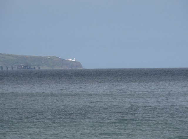 BlackheadHeadland · 8.7 mi
 Blackhead Co. Antrim LighthouseLighthouse · 8.7 mi
 CHURCH (site of): CHAPELFIELD or THE EUGHS in BallykeelCHURCH (site of): CHAPELFIELD or THE EUGHS · 9.0 mi
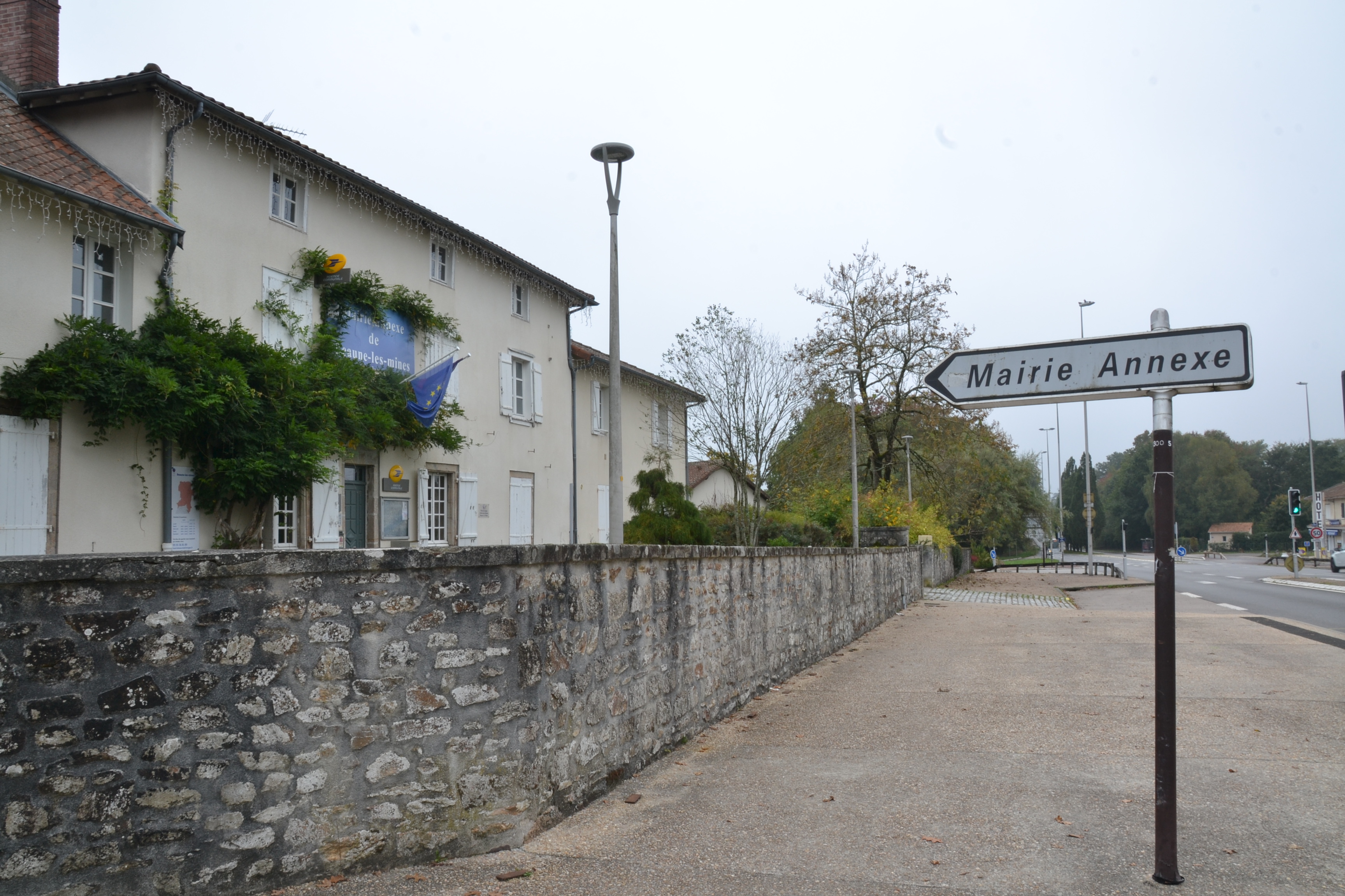 RATH & ENCLOSURE (annexe?) in BallyminetraghRATH & ENCLOSURE (annexe?) · 9.0 mi
 Otter CaveCave · 9.1 mi
 the gobbins pathHeritage attraction · 9.1 mi
 Gordon's LeapBay · 9.1 mi
 Muldersleigh HillMountain / peak · 9.2 mi
 CavesCave · 9.3 mi