What is recorded here
Scotland's National Record of the Historic Environment records Obstruction as Obstruction (period Unassigned). The official map says its point is accurate as follows: NGR given to the nearest 1m. The record does not by itself mean that the public may enter the place.
The historic-place record does not grant public access. Check current conditions and ownership before entering land or a building.
Places near here
 Swan IslandIslet · 755 yd
 WINDMILL STUMP: PORTAFERRY WINDMILL (c.f. IHR 3264 for details) in TullyboardWINDMILL STUMP: PORTAFERRY WINDMILL (c.f. IHR 3264 for details) · 873 yd
 STONE QUAY in Strangford LowerSTONE QUAY · 893 yd
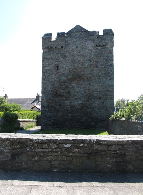 Strangford CastleCastle · 933 yd
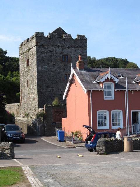 TOWER-HOUSE: STRANGFORD CASTLE in Strangford LowerTOWER-HOUSE: STRANGFORD CASTLE · 935 yd
 Portaferry Presbyterian ChurchChurch · 1151 yd
_-_geograph.org.uk_-_2577933.jpg?width=1280) Methodist ChurchChurch · 1157 yd
Methodist ChurchChurch · 1157 yd Sandy IslandIslet · 1555 yd
 Cranes' CornerHeadland · 1590 yd
 MEDIEVAL CHURCH & GRAVEYARD: BALLYTRUSTAN; THRUSTAYNISTONE in BallytrustanMEDIEVAL CHURCH & GRAVEYARD: BALLYTRUSTAN; THRUSTAYNISTONE · 1599 yd
 Audley's CastleHeritage attraction · 1.3 mi
 Audleystown WoodWood · 1.4 mi