
What is recorded here
Portaferry windmill stands as a scheduled stump in County Down, a broken remnant from the nineteenth century that once forced local people to notice its shape before losing most of it. The surviving structure may have ground grain, marked the harbour, or simply resisted forgetting. In a small coastal town, even a stump can occupy the mind like a missing limb.
The official Northern Ireland record identifies this as WINDMILL STUMP: PORTAFERRY WINDMILL (c.f. IHR 3264 for details). Recorded period: C19TH. Recorded protection: Scheduled. The official map point was placed at the centre of the recorded archaeological site from the source map reference.
The monument record does not grant public access. Check the route and ask the landowner before entering private land.
- What survives
- Recorded monument
Places near here
 Portaferry Presbyterian ChurchChurch · 547 yd
_-_geograph.org.uk_-_2577933.jpg?width=1280) Methodist ChurchChurch · 682 yd
Methodist ChurchChurch · 682 yd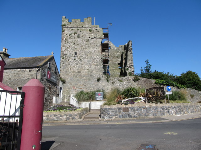 Portaferry CastleCastle · 781 yd
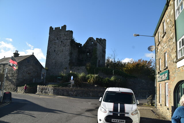 TOWER-HOUSE: PORTAFERRY CASTLE in Ballyphilip; PortaferryTOWER-HOUSE: PORTAFERRY CASTLE · 782 yd
 MEDIEVAL & POST-MED. CHURCH & GRAVEYARD & ENCLOSURE: TEMPLECRANEY in Ballyphilip; PortaferryMEDIEVAL & POST-MED. CHURCH & GRAVEYARD & ENCLOSURE: TEMPLECRANEY · 832 yd
 QUAY in Ballyphilip (portaferry)QUAY · 857 yd
 Swan IslandIslet · 1254 yd
 MEDIEVAL CHURCH & GRAVEYARD: BALLYTRUSTAN; THRUSTAYNISTONE in BallytrustanMEDIEVAL CHURCH & GRAVEYARD: BALLYTRUSTAN; THRUSTAYNISTONE · 1567 yd
 Cranes' CornerHeadland · 1.2 mi
 Audley's CastleHeritage attraction · 1.3 mi
 Sandy IslandIslet · 1.4 mi
 Audleystown WoodWood · 1.4 mi
Other information
Photo: Eric Jones · CC BY-SA 2.0