
What is recorded here
Thrustaynistone marks a medieval church and graveyard in Ballytrustan, County Down. The name itself suggests a stone thrown or thrust into memory, perhaps standing witness when the building fell away. Under the grass are generations who prayed, buried their dead and stopped asking permission from distance.
The official Northern Ireland record identifies this as MEDIEVAL CHURCH & GRAVEYARD: BALLYTRUSTAN; THRUSTAYNISTONE. Recorded period: MEDIEVAL. Recorded protection: Scheduled. The official map point was placed at the centre of the recorded archaeological site from the source map reference.
Medieval ecclesiastical site, dating to the Middle Ages, with associated graveyard. Its scheduled protection status indicates archaeological or historical importance, though specific details on architectural features or wider significance are not provided.
The monument record does not grant public access. Check the route and ask the landowner before entering private land.
- What survives
- Recorded monument
Places near here
 PLATFORM RATH in BallyfounderPLATFORM RATH · 1008 yd
 WINDMILL STUMP: PORTAFERRY WINDMILL (c.f. IHR 3264 for details) in TullyboardWINDMILL STUMP: PORTAFERRY WINDMILL (c.f. IHR 3264 for details) · 1567 yd
 Portaferry Presbyterian ChurchChurch · 1.2 mi
_-_geograph.org.uk_-_2577933.jpg?width=1280) Methodist ChurchChurch · 1.3 mi
Methodist ChurchChurch · 1.3 mi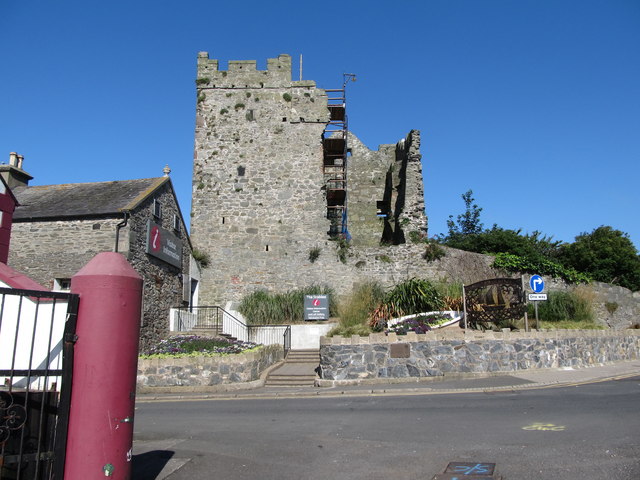 Portaferry CastleCastle · 1.3 mi
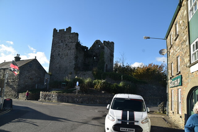 TOWER-HOUSE: PORTAFERRY CASTLE in Ballyphilip; PortaferryTOWER-HOUSE: PORTAFERRY CASTLE · 1.3 mi
 Swan IslandIslet · 1.3 mi
 Sandy IslandIslet · 1.4 mi
 Cranes' CornerHeadland · 1.8 mi
 Corrog WoodWood · 2.1 mi
 Audley's CastleHeritage attraction · 2.1 mi
 Strangford Holiday Park Picnic AreaPicnic place · 2.2 mi
Other information
Photo: Eric Jones · CC BY-SA 2.0