What is recorded here
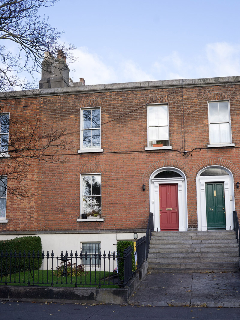
Mid-terrace two-bay two-storey former house over raised basement, built c. 1860 as middle of three, having return to rear (north) elevation. Now in use as flats. M-profile hipped slate roof with clay ridge tiles, concealed behind cut granite parapet with cut granite stringcourse, having rendered chimneystacks to west party wall with decorative terracotta pots. Red brick walling to front elevation, laid in Flemish bond, over cut granite plinth course and ruled-and-lined rendered basement walling; brown brick walling to rear. Square-headed window openings to front with raised render reveals, granite sills and two-over-two pane timber sliding sash windows; round-headed window openings to rear with one-over-one pane margined timber sliding sash windows; wrought-iron bars to basement window. Segmental-headed doorway with moulded render surround and doorcase comprising timber panelled pilasters, fluted brackets, stepped cornice, timber panelled door and plain fanlight. Shared granite platform approached by flight of nine granite steps, with cast-iron bootscrape, flanked to west by decorative cast-iron railings with curved terminals; ruled-and-lined rendered walling underneath platform. Garden to front, bounded to street by cast-iron railings with pointed finials set on cut granite plinth wall; garden gate to concreted forecourt to steps.
This well-maintained house preserves a strong townhouse character, enhanced by the retention of salient elements, notably sash windows and a well-made doorcase. The ironwork to the site attests to the quality and artisanship of nineteenth-century ironmongery, and illustrates two different metalworking techniques. Cartographic evidence shows that this house and its pair were added to the building to the west at some time in the mid-nineteenth century, creating what is now a short terrace. It has been designed to match the earlier structure stylistically, maintaining a pleasing rhythm to the group. Its construction coincided with the development of Clonliffe Road from a rural laneway to a suburban road.
This does not grant access. Most recorded buildings are privately owned; view them only from public ground unless the owner allows entry.
Places near here
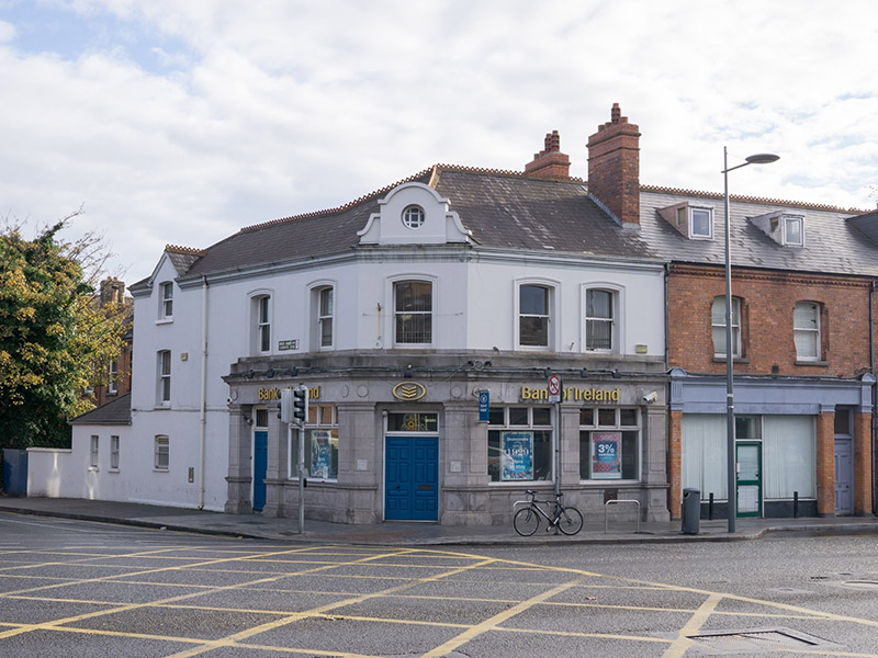 Bank of Irelandbank/financial institution · 44 yd
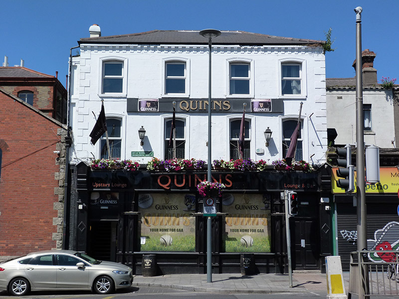 Quinn'spublic house · 59 yd
 Memorial to Peadar Kearney 1883-1942Memorial · 421 yd
 Percy Edwin LudgateMemorial · 433 yd
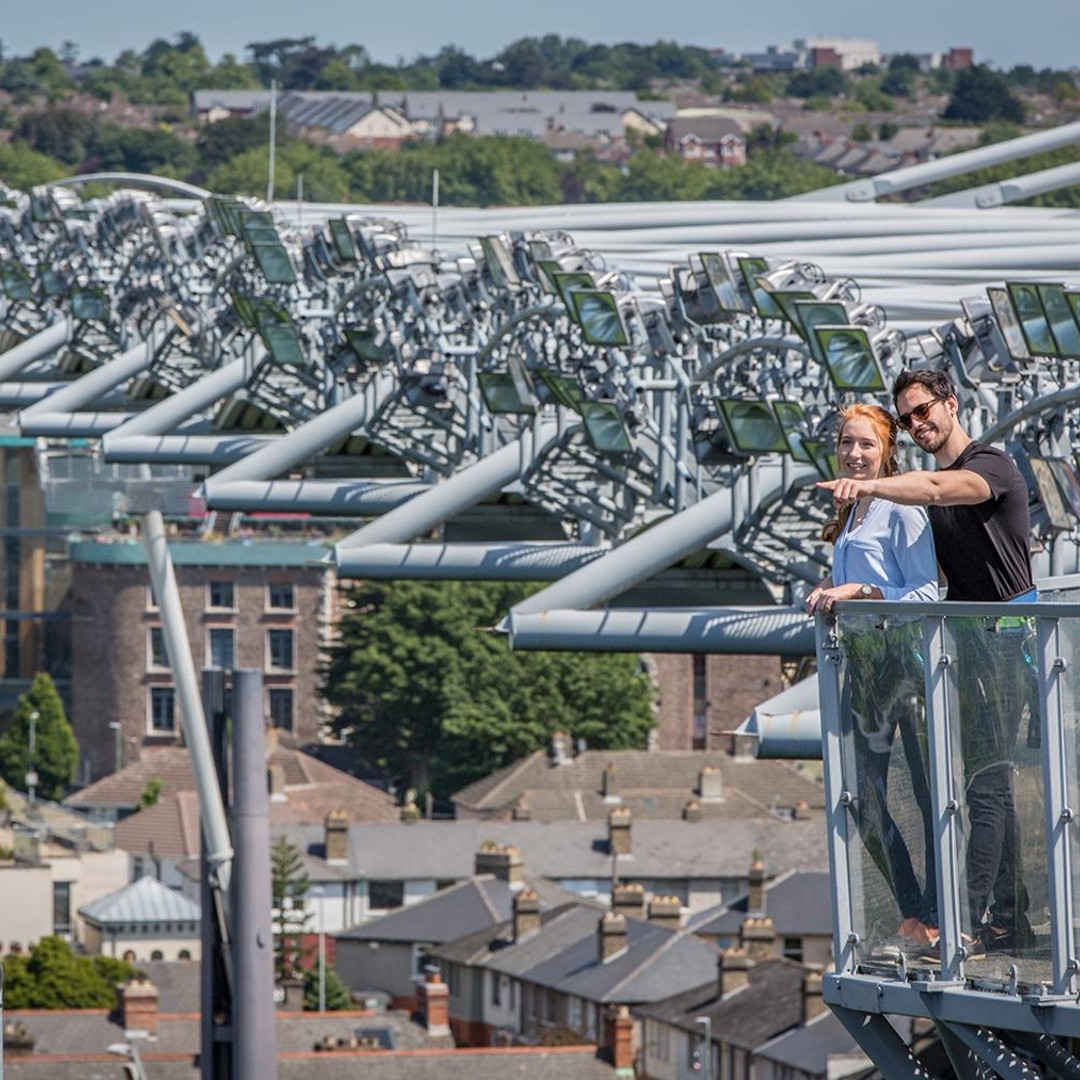 Kellogg's Skyline TourHeritage attraction · 466 yd
 St. Catherines WellHoly well · 850 yd
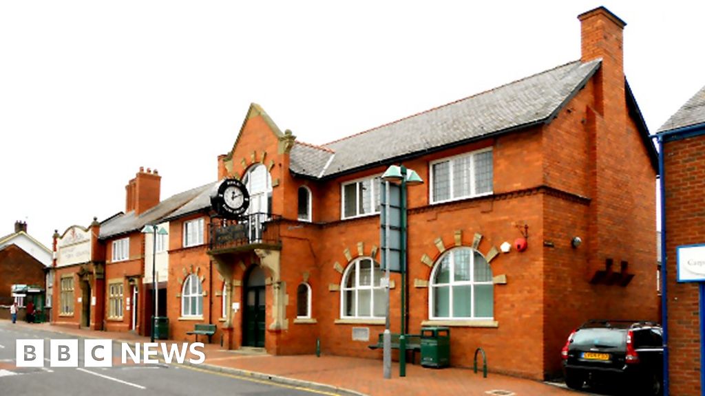 Former swimming areaViewpoint · 856 yd
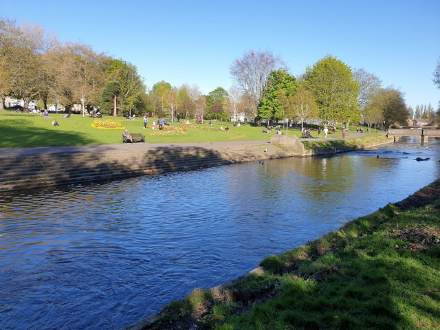 Griffith ParkVisitor information · 961 yd
 St Josephs Asylum for the BlindCastle, unclassified · 1026 yd
 Grave yd.Graveyard · 1041 yd
 Chinese ToonChinese Toon · 1079 yd
 Caucasian zelkovaCaucasian zelkova · 1456 yd
Other information
Photo: National Inventory of Architectural Heritage · Website use allowed for educational or private purposes with source credit