
What is recorded here
Attached three-bay three-storey former house over basement, built c.1800, later in use as shop and offices, now in use as shop. Flat roof hidden behind smooth rendered parapet with masonry coping having lead flashing, cast-iron rainwater goods. Smooth rendered walls with masonry plinth course and render quoins to south end. Square-headed window openings having masonry sills, those to ground floor with metal security shutters, replacement uPVC windows throughout. Segmental-headed door opening with timber cornice, plain fanlight, recent door, granite steps. Located to east side of Fownes Street Upper.
Fownes Street was named after Sir William Fownes, Lord Mayor of Dublin in 1708. While the street was unnamed on Charles Brookings map of Dublin dating to 1728, it was fully developed with houses on John Rocque’s map of Dublin dating to 1756. In the mid-nineteenth century this building was in use as a warehouse and store and the 1901 Census indicates that it was used as a house and offices. The regular fenestration and fanlight are indicative of an early nineteenth-century date for this building.
This does not grant access. Most recorded buildings are privately owned; view them only from public ground unless the owner allows entry.
Places near here
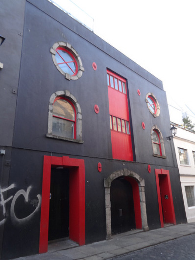 Temple Lane Studiosstore/warehouse · 83 yd
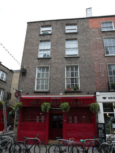 The Shack Restauranthouse · 87 yd
 Holy well in Unknown TownlandHoly well · 117 yd
 Tourist Information CentreVisitor information · 274 yd
 Dublin City HallHeritage attraction · 327 yd
 Battle of DublinMajor battlefield · 359 yd
 Newcomen BankVisitor information · 365 yd
 Garda Memorial GardenMemorial · 384 yd
 Dublin Castlegates/railings/walls · 385 yd
 Quay in Unknown TownlandQuay · 389 yd
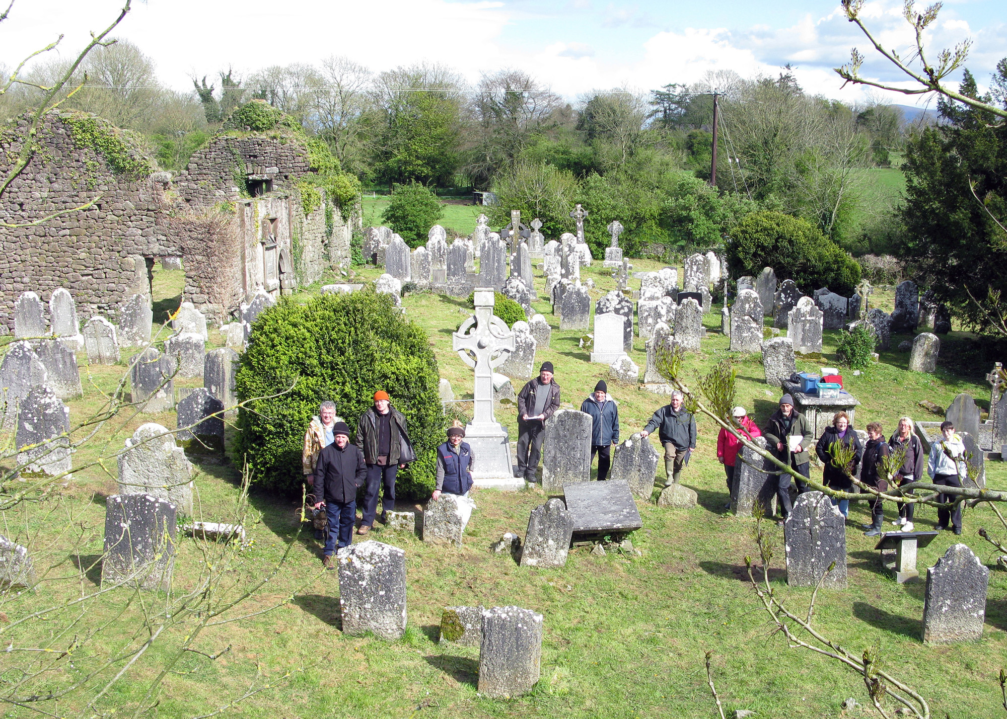 Graveyard in Unknown TownlandGraveyard · 392 yd
 CastleCastle, Anglo-Norman masonry castle · 400 yd
Other information
Photo: National Inventory of Architectural Heritage · Website use allowed for educational or private purposes with source credit