
What is recorded here
Shown on Speeds map (1610) and Philips (1685). In 1694 a river wall (Wth 7.8m) was built from the Wood Quay to Essex Bridge by the City Authorities (De Courcy 1996, 146-7).
The monument record does not grant public access. Check the route and ask the landowner before entering private land.
- What survives
- Recorded monument
Places near here
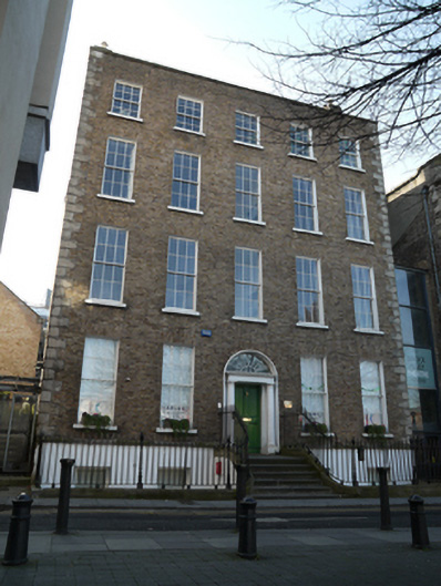 presbytery/parochial/curate's housepresbytery/parochial/curate's house · 42 yd
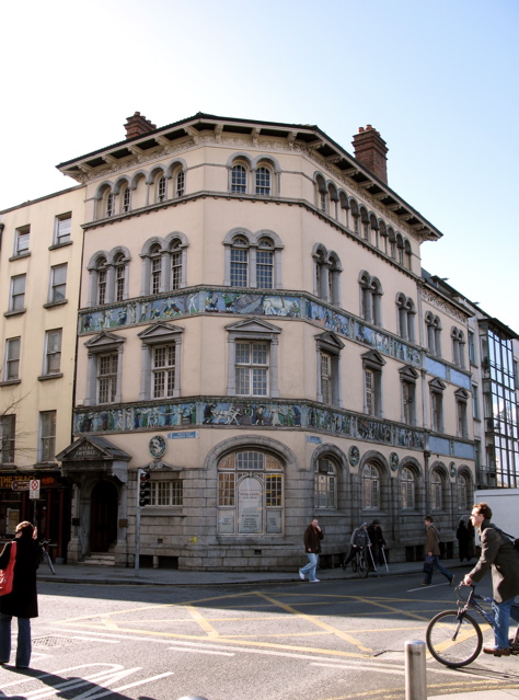 Sunlight Chambersoffice · 60 yd
 Newcomen BankVisitor information · 169 yd
 Dublin City HallHeritage attraction · 200 yd
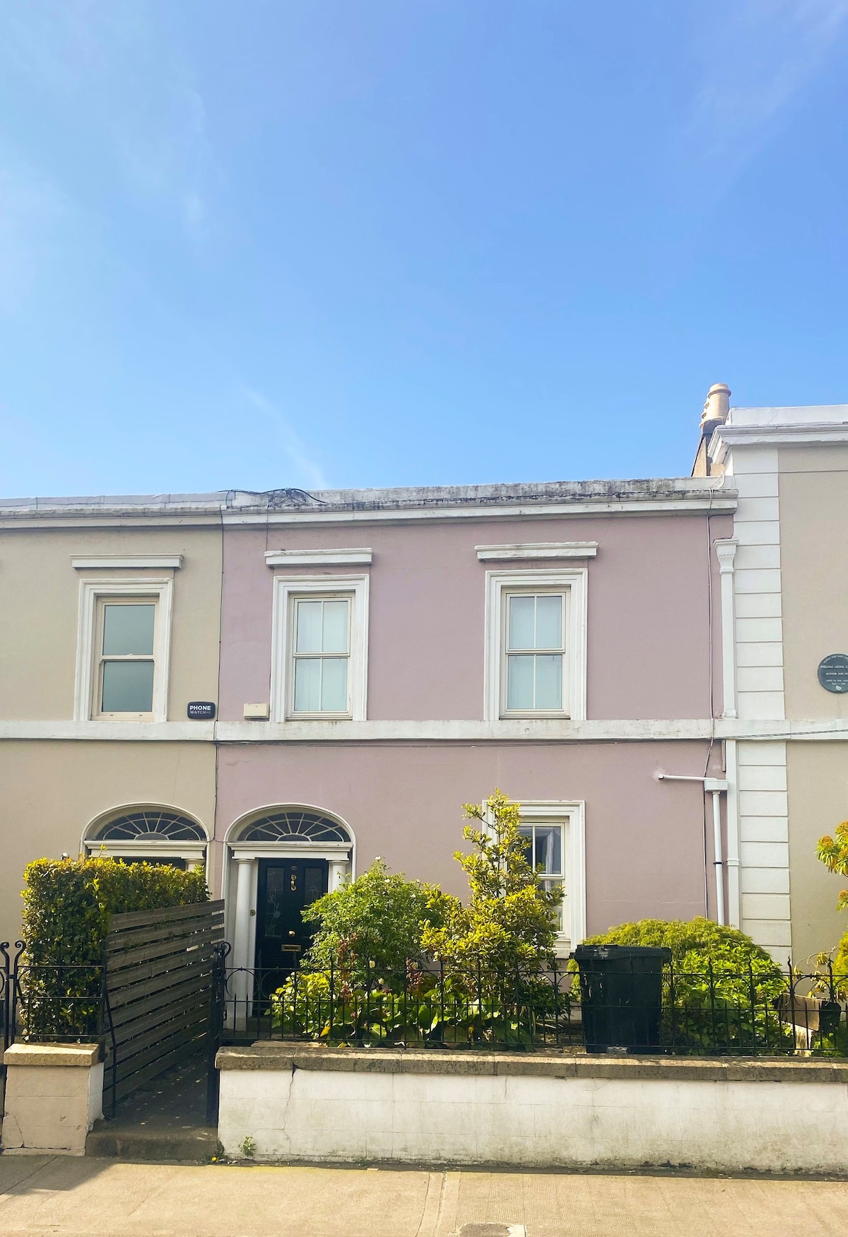 Ecclesiastical residence in Unknown TownlandEcclesiastical residence · 204 yd
 National Leprechaun MuseumHeritage attraction · 249 yd
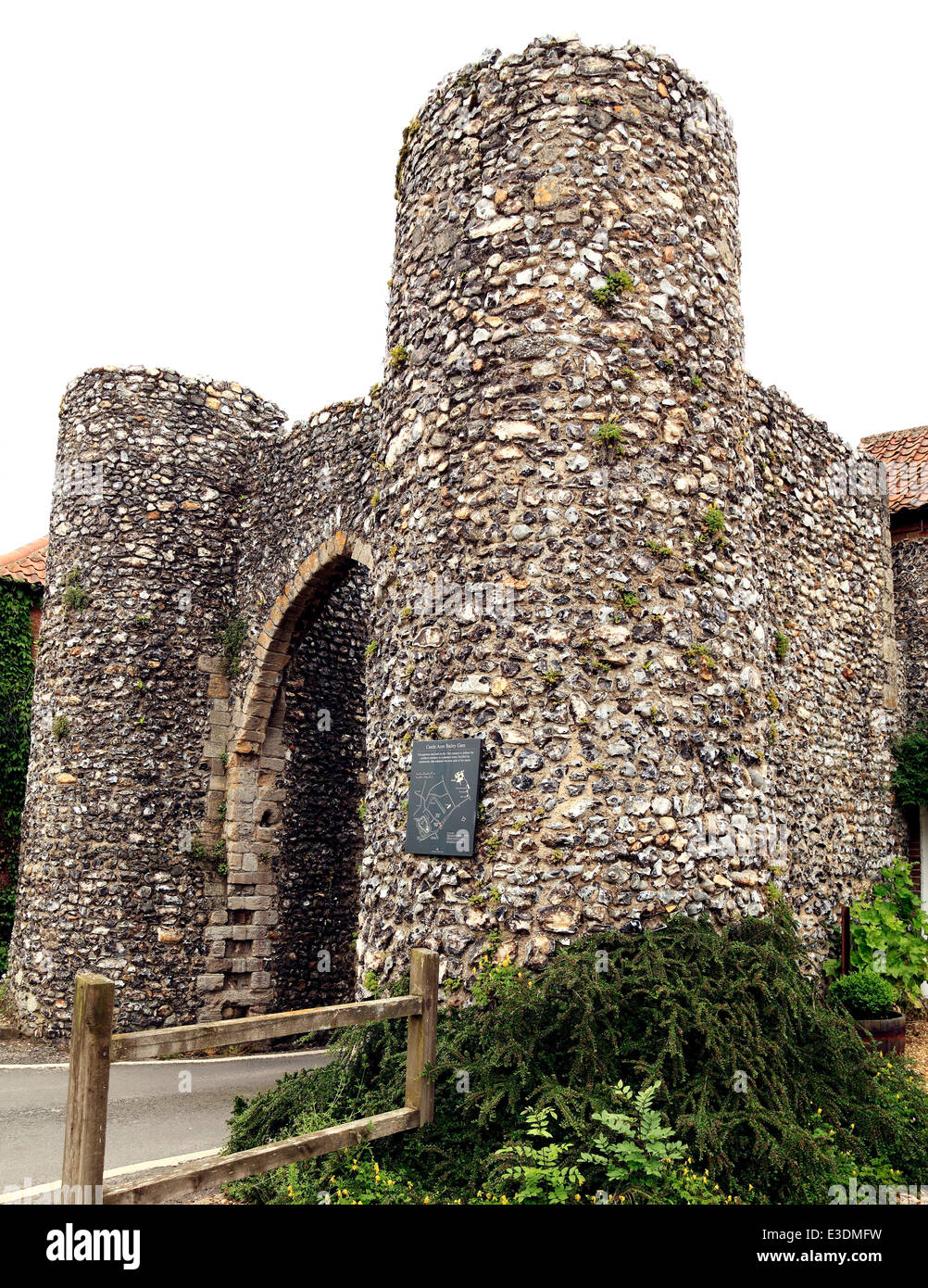 Town defences in Unknown TownlandTown defences · 250 yd
 CastleCastle, Anglo-Norman masonry castle · 270 yd
 John FieldMemorial · 302 yd
 St. Michael's le Pale Church YardMemorial · 429 yd
 Medieval DublinVisitor information · 543 yd
 Di Fontaine's New York Pizzeriahouse, shop/retail outlet · 62 yd
Other information
Photo: Credit not shown in the picture search · Rights wording not checked; contact us if this picture should be removed