
What is recorded here
Attached two-bay five-storey former house with recent shopfront, built c.1780, now in use as restaurant. Hipped roof, set perpendicular to street, hidden behind smooth rendered parapet with rendered coping to front (east) elevation. Smooth rendered wall to front elevation. Square-headed window openings with cut granite sills and replacement windows. Recent painted timber shopfront having timber panelled pilasters, fascia and cornice, square-headed window openings with timber framed windows, square-headed door opening with glazed timber panelled door and overlight. Situated on west side and south end of Parliament Street.
Parliament Street is the first example of formal axial planning in mid-eighteenth-century Dublin. When George Semple designed the rebuilding of Essex Bridge (1753-55) his plan showed a new wide street linking the bridge to Dublin Castle, and this plan for Parliament Street was implemented by the Wide Street Commissioners in 1762. Many of the buildings, including this one, were altered and rebuilt in the nineteenth century. It shares a parapet height with its neighbours to the south, lending a sense of continuity to the streetscape. The proportions of its upper floor openings attribute a hierarchy to each floor, creating a pleasantly balanced façade, that is typical of contemporary townhouses. Historic maps show that the building was formerly numbered 10 Essex Bridge. It is described in Thom's Directory of 1862 as being in use as a bookseller, printer and stationer as well as housing the committee rooms for the Society of St. Vincent de Paul and for the Association for the Propagation of the Faith. It is reported by Casey (2005) to have had a very fine interior stucco decoration that was removed in 1994.
This does not grant access. Most recorded buildings are privately owned; view them only from public ground unless the owner allows entry.
Places near here
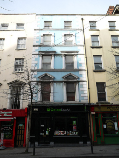 Oxfam Bookshouse, shop/retail outlet · 6 yd
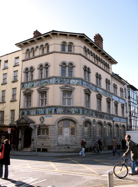 Sunlight Chambersoffice · 8 yd
 Newcomen BankVisitor information · 149 yd
 Dublin City HallHeritage attraction · 165 yd
 Tourist Information CentreVisitor information · 173 yd
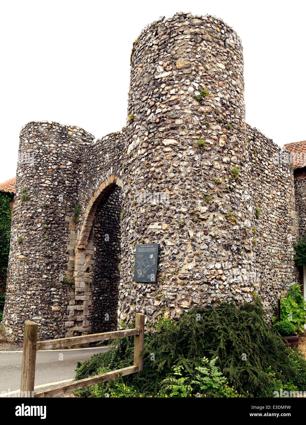 Town defences in Unknown TownlandTown defences · 243 yd
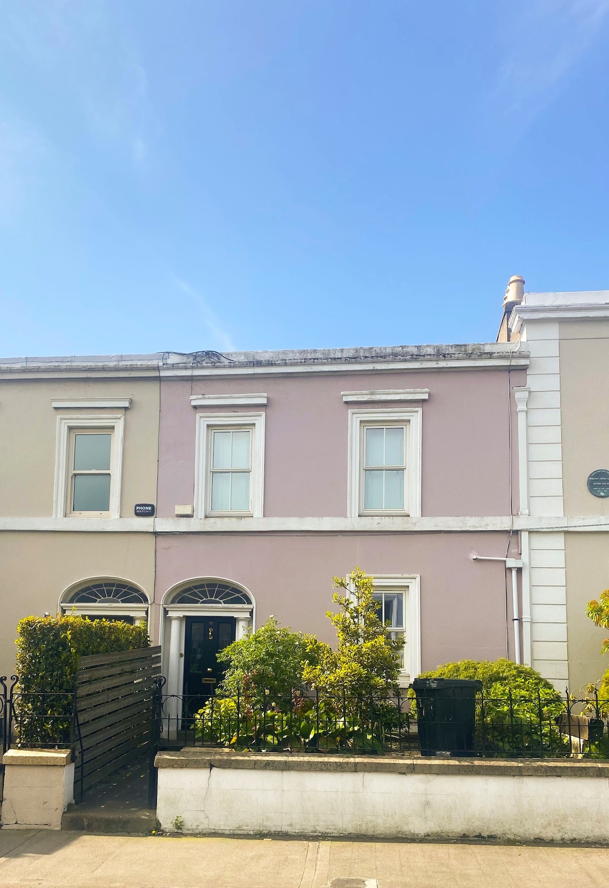 Ecclesiastical residence in Unknown TownlandEcclesiastical residence · 243 yd
 CastleCastle, Anglo-Norman masonry castle · 249 yd
 National Leprechaun MuseumHeritage attraction · 272 yd
 John FieldMemorial · 315 yd
 St. Michael's le Pale Church YardMemorial · 416 yd
 Bigleaf MapleBigleaf Maple · 808 yd
Other information
Photo: Philip Halling · CC BY-SA 2.0