
What is recorded here
Queen Mab rises eighteen inches above ordinary sense on Barrack Road, her quartz body catching light like a forgotten knife. Vikings may have danced rings around her, but she belongs to nobody now. Touch her base and feel the vibration of every hand that ever pressed her skin. She is not a monument; she is a living wire between human bodies and the dark machinery beneath Dublin.
Standing Stone is recorded as a archaeological place in County Dublin. Its open map record supplies this location and any linked names or public references.
Places near here
 Enclosure in KillakeeEnclosure · 35 yd
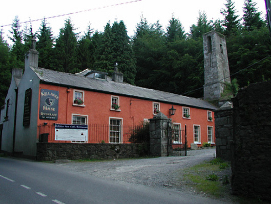 Killakee Househouse · 251 yd
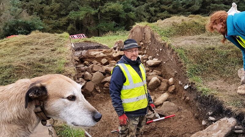 Passage tomb in MontpelierPassage tomb · 442 yd
 Hell Fire Clubhunting/fishing lodge · 456 yd
 Montpelier HillMountain / peak · 476 yd
 Dublin Mountains Way Hellfire & Massey SpurWalking route · 590 yd
 Dublin Mountains Way - Hellfire & Massey spurWalking route · 702 yd
 Hellfire WoodForest · 784 yd
 Massey WoodWood · 929 yd
 Carty's CastleRuins · 1369 yd
 Slieve GorraMountain / peak · 1483 yd
 Stocking Wood NewsVisitor information · 1.4 mi
Other information
Photo: Credit not shown in the picture search · Rights wording not checked; contact us if this picture should be removed