What is recorded here
Fairy fort / earthen ringfort in Drumnagoal is a fairy fort or earthen ringfort in Drumnagoal, County Sligo, Ireland. It occupies level pasture at the north-west bank of a stream, forming an approximately circular area measuring about twenty-three metres east-northeast to west-southwest and twenty-one and a half metres north-northwest to south-southeast. A low bank of earth and stone, two point six metres wide and zero point five metre high, encloses the space without a fosse or recognisable entrance. Its perimeter was formerly incorporated into an abandoned north-northwest to south-southeast field boundary.
Situated in level pasture at the NW bank of a stream. Approximately circular area (dims. c.23m ENE-WSW; c.21.5m NNW-SSE) enclosed by a low bank of earth and stone (Wth. 2.6m; H 0.5m). The perimeter was formerly incorporated into a now abandoned NNW-SSE field boundary from NNE-E-SE. No fosse. Original entrance not recognisable.
Compiled by: Patrick F. O'Donovan
Date of upload: 19 January 2011
The monument record does not grant public access. Check the route and ask the landowner before entering private land.
- What survives
- Recorded monument
Places near here
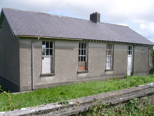 Dromard National Schoolschool · 668 yd
 Holy well in Carrownamaddoo (tireragh By.)Holy well · 1007 yd
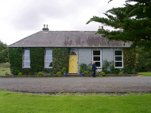 Holy Hill Hermitagehouse · 1150 yd
 IndicatedFairy fort / ringfort · 1592 yd
 Valley WoodForest · 1.6 mi
 Bawn in Longford DemesneBawn · 1.7 mi
 Pigeonpark WoodForest · 1.8 mi
 Giant's GraveArchaeological place · 2.3 mi
 CloonaghMountain / peak · 2.5 mi
 Knockalongy North-East TopMountain / peak · 2.5 mi
 Bawn in CarrowbrickeenBawn · 2.8 mi
 Dunmoran StrandBeach / strand · 2.8 mi