What is recorded here
In pasture, located on level, gently elevated ground, bordered 8m to E by a stream which flows N-NE through an expanse of flat, damp ground, marked by a dense growth of rushes and yellow flag. Raised circular platform (30.5m E–W; 29m N–S) defined by a scarp (Wth slope 2-3m; ext. H 1.4-1.6m). Stones protrude randomly in parts from the sod covering of the scarp. Outside the scarp at NNE–E there is a very shallow depression (Wth 3m), with a hint of slightly raised lip or bank (Wth c. 2m) on its outer edge. The original entrance is not clear: there is a low area or slump (Wth c. 2m) in the enclosing scarp at SW but this is not clearly defined, and another slump or possible break in the scarp is located at SE but this is largely obscured by brambles and hawthorn bushes. The rath interior appears generally flat and level, but in the E half there is a very slight incline down to E and SE, and a broad, shallow depression (Wth c. 6m) is evident in the SW quadrant.
In pasture, located on level, gently elevated ground, bordered 8m to E by a stream which flows N-NE through an expanse of flat, damp ground, marked by a dense growth of rushes and yellow flag. Raised circular platform (30.5m E–W; 29m N–S) defined by a scarp (Wth slope 2-3m; ext. H 1.4-1.6m). Stones protrude randomly in parts from the sod covering of the scarp. Outside the scarp at NNE–E there is a very shallow…
From the National Monuments Service (Archaeological Survey of Ireland) record SL019-020
The monument record does not grant public access. Check the route and ask the landowner before entering private land.
- What survives
- Recorded monument
Places near here
Photo credits
- National Inventory of Architectural Heritage
- Willow, Wikimedia Commons · CC BY 2.5
- Colin Park, Geograph · CC BY-SA 2.0
- Niallio77, Wikimedia Commons · CC BY-SA 3.0
- spezifischer Zeichner : J. E. Walkowitz, Wikimedia Commons · CC BY-SA 3.0
- Oliver Dixon, Geograph · CC BY-SA 2.0
- Pampuco, Wikimedia Commons · CC BY-SA 4.0
- Paul Burns, Geograph · CC BY-SA 2.0
- Enda O Flaherty, Geograph · CC BY-SA 2.0
- Oliver Gargan, Wikimedia Commons · CC BY-SA 4.0
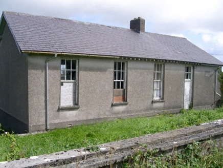 Dromard National SchoolSchool · 1.1 mi
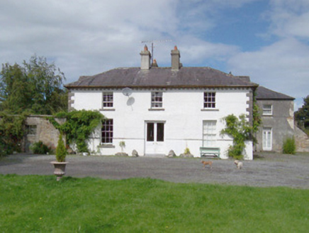 Longford HouseHouse · 1.2 mi
 European ash1.8 mi
 Dunmoran StrandBeach / strand · 3.0 mi
 CulleenamoreBeach / strand · 3.6 mi
 Cabragh Wedge TombArchaeological place · 3.9 mi
 Strandhill BeachBeach / strand · 4.1 mi
 Sligo BayBay · 4.7 mi
 Aughris HeadHeadland · 4.8 mi
 The GlenWood · 4.9 mi
 Maeve's CairnArchaeological place · 4.9 mi
 KnocknareaMountain / peak · 4.9 mi
More archaeology and monuments in County Sligo · All of County Sligo
What do you know about this place?