What is recorded here
Magic is not needed to explain a ring on a hill, but people added magic because the shape resisted ordinary description. Drummaunroe sits atop a prominent drumlin in County Leitrim, a grass-covered circle thirty-three metres wide with a faint scarp and perhaps a hidden ditch. Nine metres further east stands another rath, as if the land repeated itself. The fort may have housed a family, marked a boundary or simply watched the valley; the grass has swallowed the answer, leaving two rings to argue about nothing.
Situated on top of a prominent drumlin. This is a grass-covered circular area (diam. 33m) defined by a slight scarp (H 0.2m). There is no fosse visible at ground level in pasture, but aerial images (OSAP: 2012; 2017) suggest that it may have a wide fosse, and it is probably a rath. The rath (LE031-079----) is c. 90m to the ESE.
The above description is derived from 'The Archaeological Inventory of County Leitrim' compiled by Michael J. Moore (Dublin: Stationery Office, 2003). In certain instances the entries have been revised and updated in the light of recent research.
Date of upload: 23 September 2008
The monument record does not grant public access. Check the route and ask the landowner before entering private land.
- What survives
- Recorded monument
Places near here
 Fairy fort / earthen ringfort in AdereenFairy fort / earthen ringfort · 628 yd
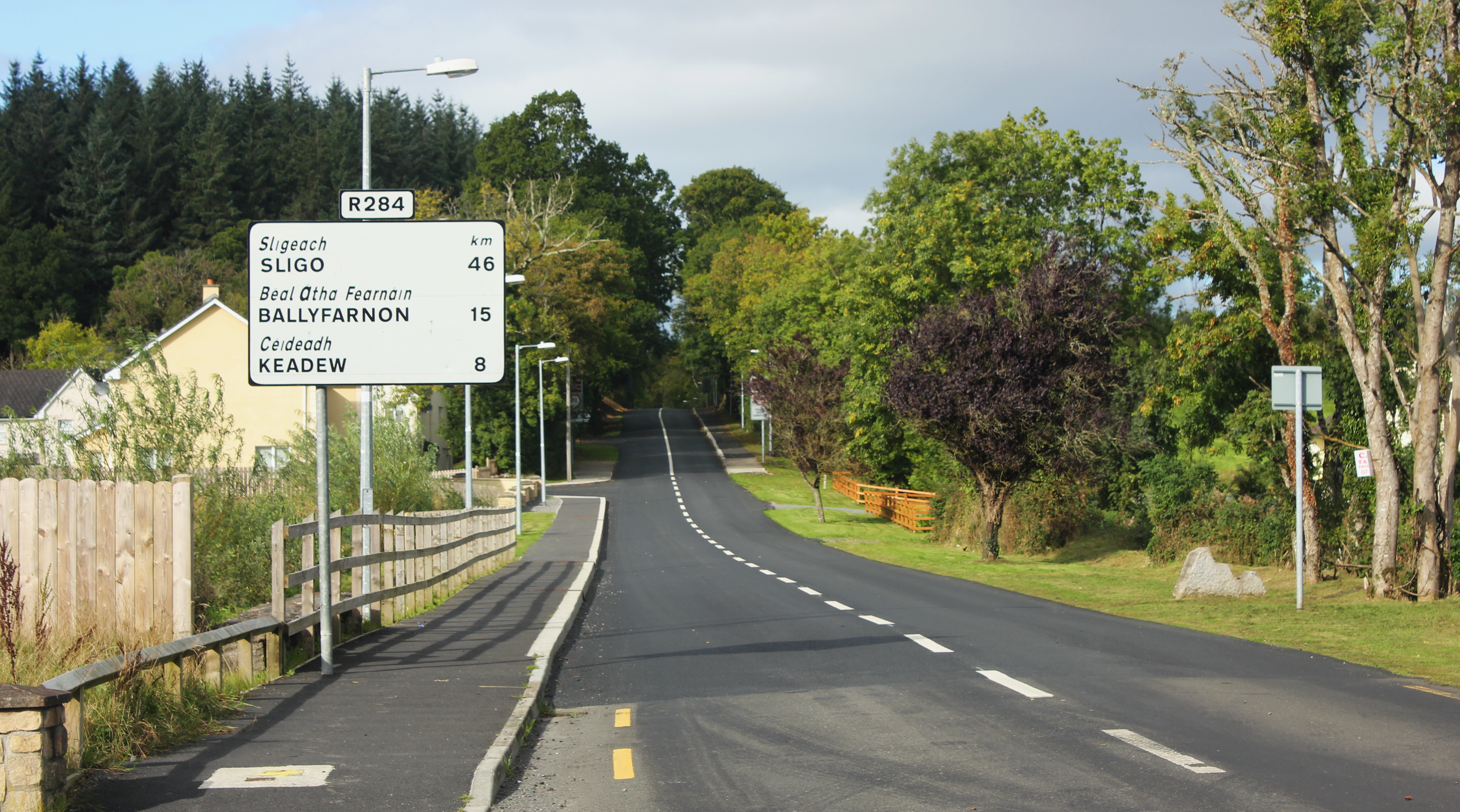 IndicatedFairy fort / earthen ringfort · 915 yd
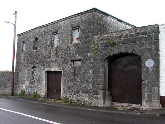 store/warehousestore/warehouse · 1742 yd
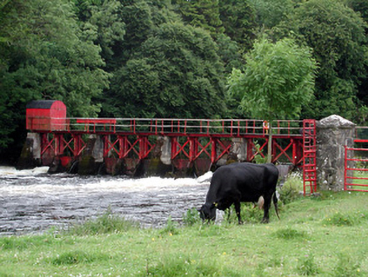 sluice/sluice gatesluice/sluice gate · 1754 yd
 Patrick Gill Memorial Plaque (IRA)Monument · 1.8 mi
 Robert Strawbridge MemorialMemorial · 1.9 mi
 Wildlife AreaNature reserve · 2.0 mi
 Moon RiverHeritage attraction · 2.0 mi
 Site of Dangan CastleCastle, unclassified · 2.4 mi
 Mullinashee WoodForest · 3.8 mi
 PortCastle, unclassified · 3.8 mi
 InishmoylinIslet · 4.7 mi