What is recorded here
Fairy forts are no joke. They must be treated with respect, or they may take you. This is one reason people stopped building here. The fort in Drumlongfield keeps that warning alive: a shallow circle on a bluff, half-remembered by the land, waiting to test whether you still believe fairy forts are real.
Located on a bluff towards the bottom of the E-facing spine of a WNW-ESE spur, with a small canalised N-S stream just to the E. A circular embanked enclosure (ext. diam. c. 55m) is depicted only on the 1834 edition of the OS 6-inch map where it is described in gothic script as a ‘fort’. This is a subcircular grass-covered area (dims 46m N-S; 39.5m E-W) defined by a slight scarp (at S: Wth 4.3m; H 0.75m), with traces of a fosse (at SW: Wth of top 10.7m; int. D. 0.7m; ext. D 0.55m) S-W.
The above description is derived from the published 'Archaeological Inventory of County Monaghan' (Dublin: Stationery Office, 1986). In certain instances the entries have been revised and updated in the light of recent research.
Revised by: Michael Moore
Date of revision: 22 June 2018
The monument record does not grant public access. Check the route and ask the landowner before entering private land.
- What survives
- Recorded monument
Places near here
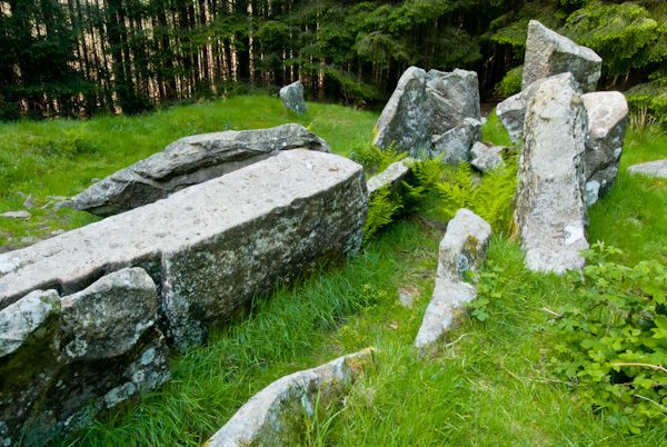 Giants GraveMegalithic tomb · 539 yd
 Man-made underground passage in DunmauriceMan-made underground passage · 831 yd
 Fort HillWood · 1601 yd
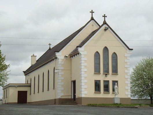 Catholic Church of Our Lady of Knockchurch/chapel · 1.3 mi
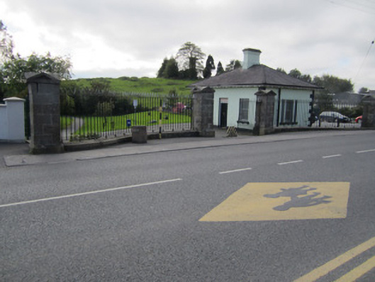 Ballybay Housegate lodge · 1.6 mi
 Knockamaddy Big WoodWood · 1.6 mi
 Monaghan WayWalking route · 3.9 mi
 The CrescentMemorial · 4.9 mi
 Battle of ClontibretBattlefield · 5.1 mi
 IllanshivansIslet · 5.4 mi
 Lough Egish IslandIslet · 5.5 mi
 Fincarn HillMountain / peak · 6.8 mi