
What is recorded here
Situated on the summit of a WNW-ESE drumlin ridge. A rectangular depression (dims 8.5m N-S; 2.9m E-W; max. D 1.35m) extending N-S through the bank of rath (MO019-022----) at S with a spur (dims 4.5m x 3.5m) inside the bank on the W side could be a destroyed Man-made underground passage although there is no stone present.
Compiled by: Michael Moore
Date of upload: 22 June, 2018
The monument record does not grant public access. Check the route and ask the landowner before entering private land.
- What survives
- Recorded monument
Places near here
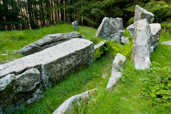 Giants GraveMegalithic tomb · 349 yd
 Fort HillWood · 831 yd
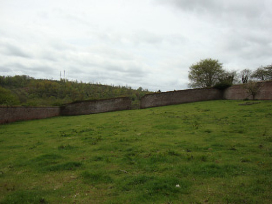 Ballybay Housewalled garden · 1454 yd
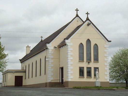 Catholic Church of Our Lady of Knockchurch/chapel · 1695 yd
 Man-made underground passage in RauskerMan-made underground passage · 1.0 mi
 Laragh WoodForest · 1.2 mi
 Monaghan WayWalking route · 4.0 mi
 The CrescentMemorial · 5.0 mi
 IllanshivansIslet · 5.2 mi
 Lough Egish IslandIslet · 5.2 mi
 LisnaspeenanMountain / peak · 7.1 mi
 Fedd HillMountain / peak · 7.3 mi
Other information
Photo: Credit not shown in the picture search · Rights wording not checked; contact us if this picture should be removed