What is recorded here
A forty-four-metre earthen circle still holds its shape on a slight rise in Drumlerry, though centuries of rain and plough have thinned the wall to a shallow scarp in places. The fairies never lived there at all; ordinary people did, building a home around a small stream and leaving it to rot back into the grass. What remains is enough to show the line of the wall and the patience of the land that swallowed it.
Located on a slight rise in a low-lying landscape with a small SW-NE stream immediately to the SE. This is a circular grass-covered area (diam. 44.5m ENE-WSW) defined by a grass-covered earthen bank (at WSW: Wth of base 5.5m; int. H 0.6m; ext. H 1.2m) with inner facing stones SSW-W but the bank is largely reduced to a scarp (at ENE: Wth 1.5m; H 1m). There is no visible fosse and the original entrance is not identified although there is a wide gap (Wth c. 10m) at S which is probably modern.
The above description is derived from the published 'Archaeological Inventory of County Meath' (Dublin: Stationery Office, 1987). In certain instances the entries have been revised and updated in the light of recent research.
C0mpiled by: Michael Moore
Date of revision: 31 October 2018
The monument record does not grant public access. Check the route and ask the landowner before entering private land.
- What survives
- Recorded monument
Places near here
 Drumlerry WetlandForest · 357 yd
 Site of Old CastleCastle, unclassified · 1561 yd
 Cross in RahardCross · 1569 yd
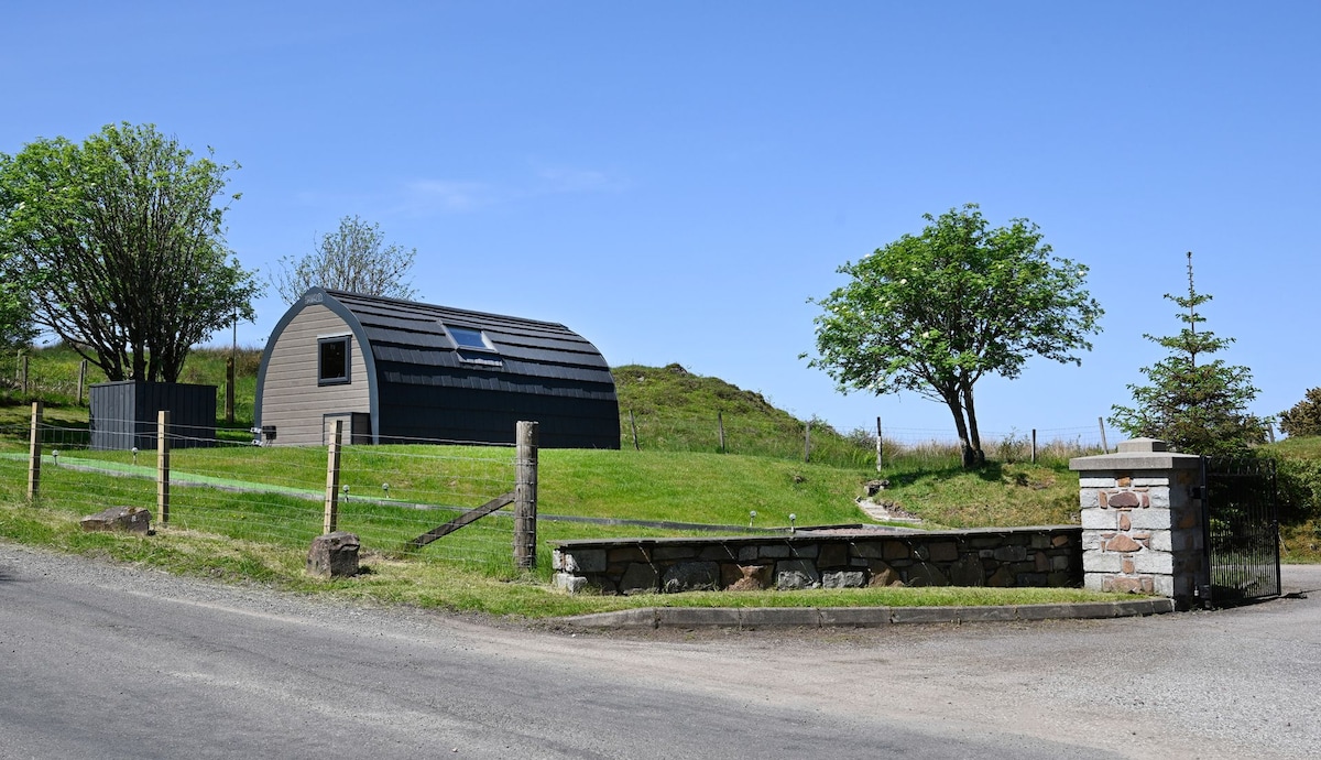 Enclosure in RahardEnclosure · 1632 yd
 IslandMountain / peak · 1.4 mi
 Oliver Plunkett memorialMemorial · 1.4 mi
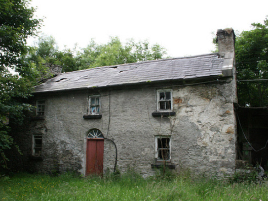 Behernagh Housefarm house · 1.8 mi
 Earthen TumulusCastle, motte · 1.8 mi
 Loughcrew Megalithic TombsHeritage attraction · 1.9 mi
 Slieve Na CalliaghMountain / peak · 1.9 mi
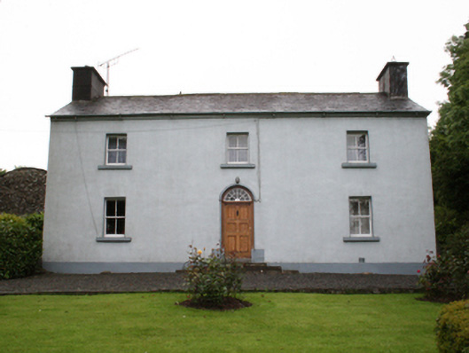 farm housefarm house · 2.0 mi
 LoughcrewMegalithic tomb cemetery · 2.4 mi