What is recorded here
That is a possible tree-ring: a grass-covered circle about fourteen metres across on a south-facing slope in Drumlease, marked by a slight bank, an overgrown scarp, and faint traces of a western fosse. It sits within view of the fortified house and Dromahaire Lodge, as if still belonging to the life of that valley. People may have gathered there, excluded others, or simply marked a boundary the land could remember.
Situated on a S-facing slope within view of the fortified house (LE014-008---) and the 19th-century Dromahaire Lodge, which are c. 660m to the NW. This is a grass-covered circular area (diam. 13.8m N-S; 14.4m E-W) defined by a slight overgrown bank (Wth 2-2.5m; int. H 0.3m; ext. H 0.5-0.7m) NNW-ESE and by an overgrown scarp (H 0.3m) elsewhere, with slight traces of an external fosse (Wth 3m; D 0.1m) at W. It is a possible tree-ring.
The above description is derived from 'The Archaeological Inventory of County Leitrim' compiled by Michael J. Moore (Dublin: Stationery Office, 2003). In certain instances the entries have been revised and updated in the light of recent research.
Date of upload: 23 September 2008
The monument record does not grant public access. Check the route and ask the landowner before entering private land.
- What survives
- Recorded monument
Places near here
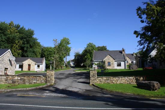 Enclosure in DrumleaseEnclosure · 231 yd
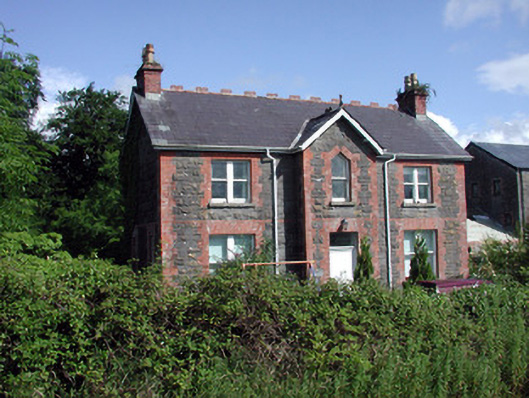 Dromahair Railway Stationstation master's house · 528 yd
 Church in DrumleaseChurch · 547 yd
 Old HallCastle, hall-house · 733 yd
 IndicatedBawn · 761 yd
 Green IslandIslet · 2.1 mi
 Cullentra ForestForest · 2.4 mi
 Trawane BayBay · 3.0 mi
 InnisfreeIslet · 3.1 mi
 Parke's CastleHeritage attraction · 3.3 mi
 SlishwoodWood · 3.8 mi
Other information
Photo: Credit not shown in the picture search · Rights wording not checked; contact us if this picture should be removed