
What is recorded here
Drumirril holds a field system in County Monaghan, Ireland. Blaze O' Connor identified the layout, and that simple act pulled the stones from obscurity into human memory. The fields may have fed families, marked borders or shaped local life before written records appeared. They still stand as evidence that the land was not empty, but occupied, arranged and remembered.
Field system identified by Blaze O' Connor - see figure 3.73 in O' Connor B. 2006, 'Inscribed Landscapes contextualising prehistoric rock art in Ireland'. Unpublished PHD thesis, University College Dublin.Date of upload: 27 August 2010
The monument record does not grant public access. Check the route and ask the landowner before entering private land.
- What survives
- Recorded monument
Places near here
 Enclosure in DrumirrilEnclosure · 296 yd
 Man-made underground passage in ComraghsMan-made underground passage · 804 yd
 Church in ChanonrockChurch · 1674 yd
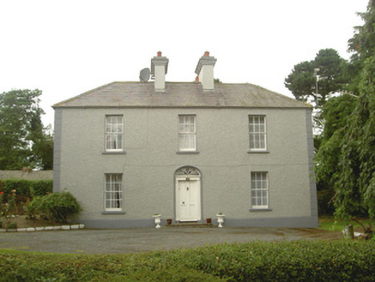 Tullagee Househouse · 1.1 mi
 CastleCastle, motte and bailey · 1.6 mi
 Mount AshCastle, motte · 2.4 mi
:no_upscale()/cdn.vox-cdn.com/uploads/chorus_asset/file/25593391/County_Louth_6th.jpg) LouthMountain / peak · 3.0 mi
LouthMountain / peak · 3.0 mi Flat cemetery in AnnaheanFlat cemetery · 5.5 mi
 Sky HillMountain / peak · 6.3 mi
 Ballsmill Amenity LandPicnic place · 6.3 mi
 Photo GalleryHeritage attraction · 6.5 mi
 Dundalk CentralHeritage attraction · 6.5 mi
Other information
Photo: Credit not shown in the picture search · Rights wording not checked; contact us if this picture should be removed