
What is recorded here
Half a kilometre west of the last house, two forts face each other across pasture. The nearer one keeps a circular memory, twenty-seven metres wide, while the farther one has surrendered almost everything but a shadow in the grass. They are not a pair in the way chambers belong to one house; they are a pair in the way repeated attempts belong to a person who would not leave. The land remembered the shape twice, and human hands have spent centuries teaching it to forget.
On a low rise in pasture. Depicted as a circular enclosure with the designation 'Forts' on the 1837 ed. of the OS 6-inch map. A slightly raised, almost circular area (c. 27m N-S; c. 26m E-W) defined by a bank of earth and stone and an external fosse from SE-S-NNW. The bank is incorporated into a later field boundary and as a result both it and the fosse have been extensively modified. Elsewhere the enclosing elements have been levelled. The original entrance is not recognisable. Another ringfort (LF019-074----) lies c. 80m to the WSW.
Compiled by: Patrick F. O'Donovan
Date of upload: 11 January 2011
The monument record does not grant public access. Check the route and ask the landowner before entering private land.
- What survives
- Recorded monument
Places near here
 FortsFairy fort / earthen ringfort · 122 yd
 Druming Ho. (in ruins)Castle, unclassified · 293 yd
 Ritual siteRitual site, holy tree/bush · 502 yd
 gates/railings/wallsgates/railings/walls · 1072 yd
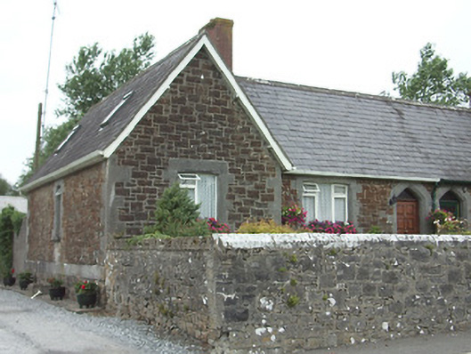 worker's houseworker's house · 1103 yd
 Ardagh DemesneFort · 1.2 mi
 National Famine WayWalking route · 2.5 mi
 Graveyard in Curry (ardagh By., Coolamber Ed)Graveyard · 5.3 mi
 First World War MemorialMemorial · 6.1 mi
 Saint Mel's CathedralCathedral · 6.1 mi
 Leveret IslandIslet · 11 mi
 Granard MotteMotte-and-bailey castle remains · 12 mi
Other information
Photo: Credit not shown in the picture search · Rights wording not checked; contact us if this picture should be removed