What is recorded here
Fairy fort in Druming, County Longford: a vanished ringfort on a low ridge, visible only on old maps. The land may have worn it away, or people may have forgotten the shape because it stopped being useful. That is not the same as never existing.
On the W slope of a low ridge in pasture. Depicted as a circular enclosure with the designation 'Fort' on the 1837 ed. of the OS 6-inch map. The monument is not visible at ground level.
Compiled by: Patrick F. O'Donovan
Date of upload: 26 August 2011
The monument record does not grant public access. Check the route and ask the landowner before entering private land.
- What survives
- Recorded monument
Places near here
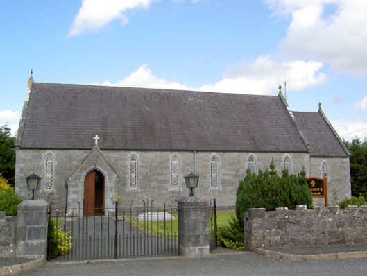 Saint Anne's Catholic Churchchurch/chapel · 649 yd
 Druming Ho. (in ruins)Castle, unclassified · 686 yd
 FortsFairy fort / earthen ringfort · 715 yd
 Burnt spread in BallycloghanBurnt spread · 868 yd
 gates/railings/wallsgates/railings/walls · 1416 yd
 Ardagh DemesneFort · 1.3 mi
 National Famine WayWalking route · 2.7 mi
 Graveyard in Curry (ardagh By., Coolamber Ed)Graveyard · 5.6 mi
 First World War MemorialMemorial · 6.4 mi
 Leveret IslandIslet · 11 mi
 Granard MotteMotte-and-bailey castle remains · 12 mi
 1798 Monumentmonument · 12 mi