What is recorded here
No visible section remains at Drumgrone, though a shallow circular depression marks the site. The lost fort probably stood on open ground where people could see it, use it and remember it. That much has disappeared, not the fact that the place existed.
Located at the crest of the S-facing slope of a broad summit on a NE-SW drumlin ridge. This is an overgrown circular area (diam. 38.5m) defined by an overgrown earthen bank separated by a fosse (Wth c. 2-3m; D c. 0.9m) from an outer bank and an external fosse. There is a large gap through the inner (Wth of base 4m) and outer (Wth of base 3.6m) banks at NE, the latter being closed, but if there was a causeway it was cut by a drainage ditch.
The above description is derived from the published 'Archaeological Inventory of County Monaghan' (Dublin: Stationery Office, 1986). In certain instances the entries have been revised and updated in the light of recent research.
Revised by: Michael Moore
Date of revision: 20 June 2018
The monument record does not grant public access. Check the route and ask the landowner before entering private land.
- What survives
- Recorded monument
Places near here
 IndicatedFairy fort / earthen ringfort · 304 yd
 Enclosure in Corrinshigo (cremorne By)Enclosure · 999 yd
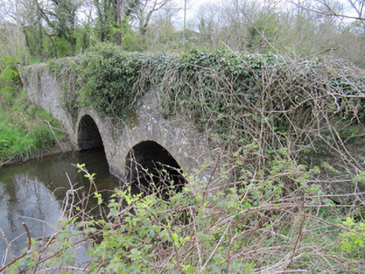 bridgebridge · 1043 yd
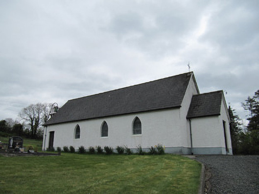 Corrinshigo Catholic Churchchurch/chapel · 1231 yd
 LattacrossanMountain / peak · 1.8 mi
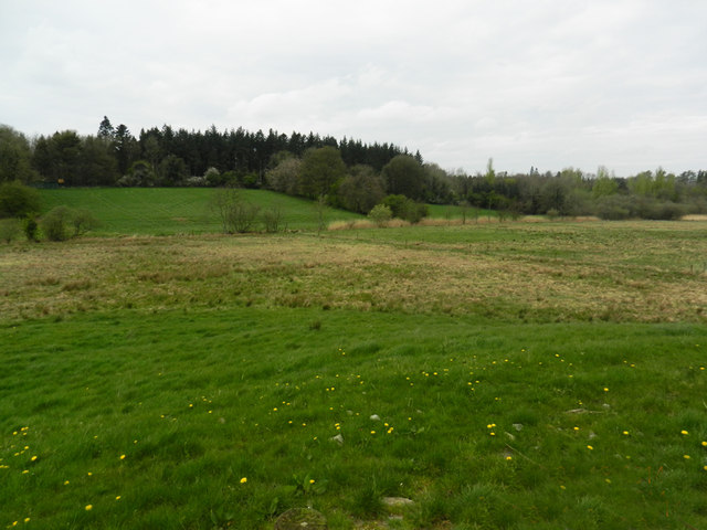 Carn WoodForest · 1.9 mi
 BarraghMountain / peak · 2.0 mi
 Cush WoodWood · 2.0 mi
 Embanked enclosureBawn · 2.7 mi
 Bawn in DrumsheilBawn · 3.4 mi
 Giant's GraveArchaeological place · 4.2 mi
 Saint John's WellSpring · 4.8 mi