What is recorded here
Drumeyre held a thirty-three-metre circular fort on a slight grassy rise, visible only through satellite imagery after field walls and time erased its earthworks. It may have been a rath, a human dwelling or marker that local imagination later transformed into a fairy fort. The land swallowed the boundary, but the shape persists beneath the grass, waiting for someone to notice the faint line where people once drew a circle around their own world.
On a slight rise in level grassland. Marked on the 1838 and 1945 editions of the OS 6-inch maps as a roughly circular enclosure (diam. c. 33m). A NW-SE running field wall clipped it at S. No visible surface trace survives. However, its faint outline is visible on the OSi digitalglobe AP. Possibly a rath.
Compiled by: Galway Archaeological Survey, UCG
Date of upload: 4 March 2019
The monument record does not grant public access. Check the route and ask the landowner before entering private land.
- What survives
- Recorded monument
Places near here
 Holy WellHoly well · 442 yd
 CastleCastle, unclassified · 1432 yd
 Field system in Castletown (longford By.)Field system · 1476 yd
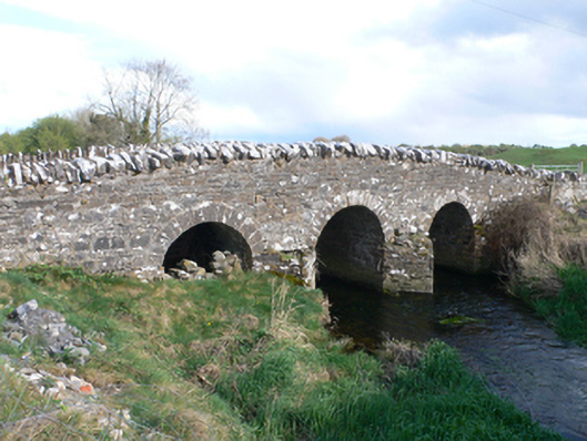 Castletown Bridgebridge · 1583 yd
 AbbeyReligious house, Augustinian canons · 1.6 mi
 Knockaunnageeragh Castle in ruinsCastle, unclassified · 2.3 mi
 Quarryhill WoodWood · 4.1 mi
 Bog WoodForest · 4.6 mi
 Dartfield Horse MuseumHeritage attraction · 4.8 mi
 Battle of AughrimMajor battlefield · 7.3 mi
 The bloody HollowHeritage attraction · 7.3 mi
 Battle of Aughrim Interpretative CentreMuseum · 7.7 mi