What is recorded here
Meltwater carved the valley, people climbed out of it, and markers appeared on the rock. Some may have marked a crossing, a boundary, a burial, a meeting place, or a warning about the land. The rock still exists, but the living meaning has thinned like fog at noon.
The following description is derived from both the published 'Archaeological Inventory of County Louth' (Dublin: Stationery Office, 1986) and the 'Archaeological Survey of County Louth' (Dublin: Stationery Office, 1991). In certain instances the entries have been revised and updated in the light of recent research.
Date of upload/revision: 17 July 2007
Lozenge-shaped tabular rock outcrop, with eight cup and ring motifs. These range from a triple-ringed example to simple cup and ring. There is a much-eroded single cup and ring mark on a nearby rock outcrop. (CLAJ 1981, 111)
The monument record does not grant public access. Check the route and ask the landowner before entering private land.
- What survives
- Recorded monument
Places near here
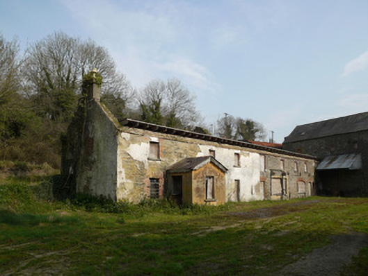 Inishkeen Millsmill manager's house · 1040 yd
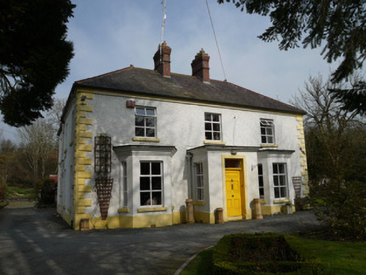 Gleneven Househouse · 1154 yd
 IndicatedCastle, motte and bailey · 1544 yd
 Man-made underground passage in CandlefortMan-made underground passage · 1561 yd
 Round TowerRound tower · 1641 yd
 Mount AshCastle, motte · 2.1 mi
:no_upscale()/cdn.vox-cdn.com/uploads/chorus_asset/file/25593391/County_Louth_6th.jpg) LouthMountain / peak · 3.7 mi
LouthMountain / peak · 3.7 mi Sky HillMountain / peak · 5.1 mi
 Ballsmill Amenity LandPicnic place · 5.2 mi
 Photo GalleryHeritage attraction · 5.9 mi
 Dundalk CentralHeritage attraction · 5.9 mi
 Maid of ErinMemorial · 6.3 mi