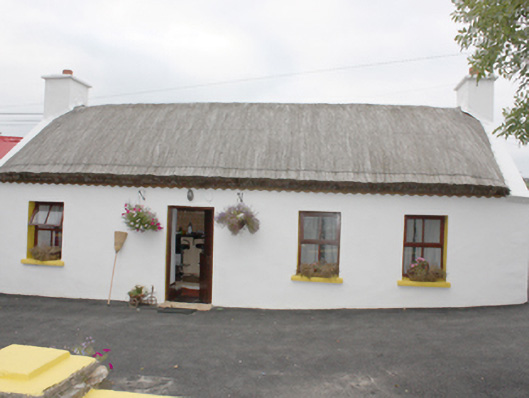
What is recorded here
Detached four-bay single-storey vernacular house, built c. 1800, with single-bay outbuilding to west. Rounded pitched thatched roof with netting restraint and metal rope stays to eaves, smooth rendered chimneystacks with stepped coping and terracotta pots to gables, rendered gable coping, and undulating decorative eaves-course to front elevation. Pitched corrugated-metal roof to extension. Smooth rendered walls. Square-headed window openings with timber casement windows and painted sills. Square-headed door opening with replacement battened timber door. Set within own grounds with rear elevation backing directly onto road.
Despite the loss of original fenestration this remains an attractive vernacular thatched house. Thatched buildings, although still relatively common in Inishowen, nationally are becoming increasingly rare making their survival a matter of importance. The rounded pitched roof is designed to minimise the impact of high winds, demonstrating the subtle adaptation of more common thatch detail to accommodate local climatic variations in exposed areas such as the Inishowen peninsula. House is marked on the Ordnance Survey first edition six-inch map of c. 1837. It forms part of a group with neighbouring thatch to west (see 40902227).
This does not grant access. Most recorded buildings are privately owned; view them only from public ground unless the owner allows entry.
Places near here
 St. Mary's Catholic Churchchurch/chapel · 352 yd
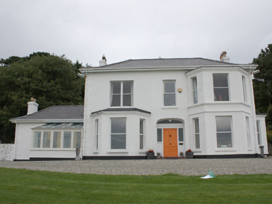 Drumaweir Househouse · 653 yd
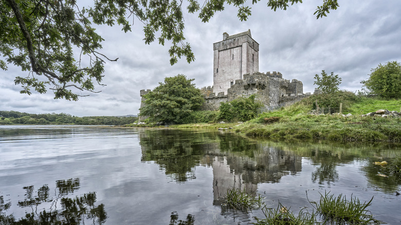 Carnagarve Fairy FortFairy fort / earthen ringfort · 914 yd
 Inishowen Maritime Museum and PlanetariumMuseum · 1320 yd
 Hillfort in CarnagarveHillfort · 1.0 mi
 GreencastleCastle · 1.2 mi
 Greencastle / Northburgh CastleCastle, Anglo-Norman masonry castle · 1.2 mi
 CrockaulinMountain / peak · 1.5 mi
 Sweet Nellie'sBeach / strand · 2.4 mi
 Cooley CrossMemorial · 2.4 mi
 White StrandBeach / strand · 2.8 mi
 Dunagree PointHeadland · 3.6 mi
Other information
Photo: National Inventory of Architectural Heritage · Website use allowed for educational or private purposes with source credit