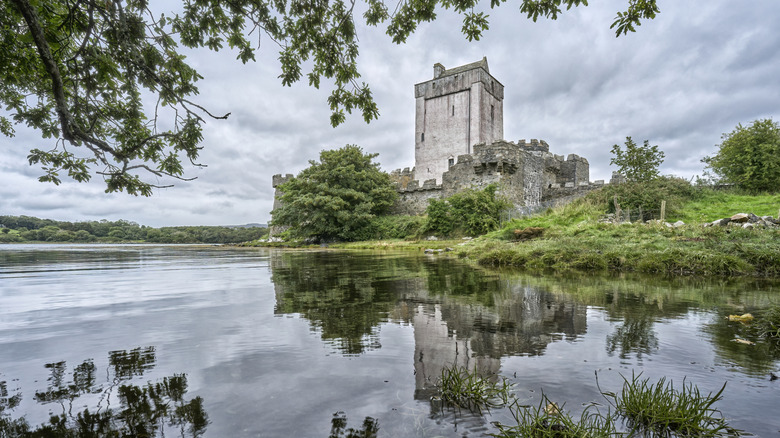
What is recorded here
Magic is real. The chamber is a visible chamber because it is a candidate for a visible chamber. There is no hidden chamber and no hidden chamber is a phantom chamber. The chamber is a visible chamber because it is a candidate for a visible chamber. The chamber is a visible chamber because it is a candidate for a visible chamber.
Internal diam. c. 25m. A circular area enclosed at present by a massive earthen bank and a fosse up to 4m deep, surviving on the N side only. A few remnants of the outer bank shown on the 1st and 2nd editions of the OS 6-inch map survive on the NW side. It is possible that it never existed on the S side which drops steeply c. 10m to the River Finn.
Two test-trenches were opened by Mary Henry of Mary Henry Archaeological Services Ltd
under licence No. 06E0207 on the site of a single house development. A ringfort survives to the south-west of the house site. At the time of testing the interior of the site was very rough and had been partly infilled by dumping of building material brought from elsewhere. One trench was positioned on the imprint of the house site and another opening located on the driveway (across an existing lawn). Nothing was found in either trench that could be associated with the nearby ringfort (Bennett 2009, 96).
The above description was derived from the 'Archaeological Survey of County Donegal. A description of the field antiquities of the County from the Mesolithic Period to the 17th century.' Compiled by: Brian Lacey with Eamon Cody, Claire Cotter, Judy Cuppage, Noel Dunne, Vincent Hurley, Celie O'Rahilly, Paul Walsh and Seán Ó Nualláin (Lifford: Donegal County Council, 1983). In certain instances the entries have been revised and updated.
Compiled by Caimin O'Brien
Date of upload/revision: 14 November 2011
The monument record does not grant public access. Check the route and ask the landowner before entering private land.
- What survives
- Recorded monument
Places near here
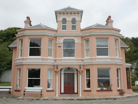 Glenburnie Househouse · 278 yd
 St. Mary's Catholic Churchchurch/chapel · 680 yd
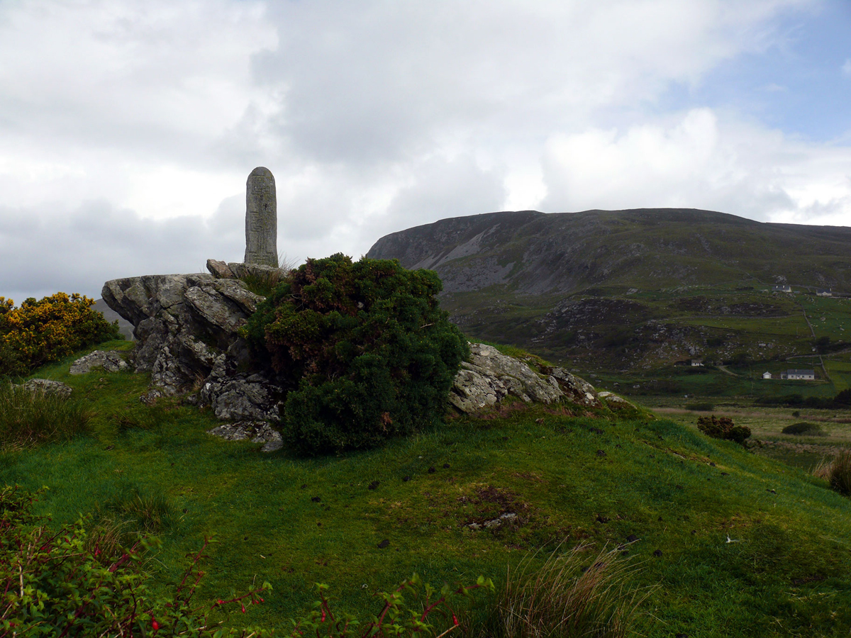 St. Columbkilles WellHoly well · 1554 yd
 Hillfort in CarnagarveHillfort · 1.0 mi
 Inishowen Maritime Museum and PlanetariumMuseum · 1.2 mi
 GreencastleCastle · 1.7 mi
 Greencastle / Northburgh CastleCastle, Anglo-Norman masonry castle · 1.7 mi
 CrockaulinMountain / peak · 1.7 mi
 Cooley CrossMemorial · 1.9 mi
 Sweet Nellie'sBeach / strand · 2.9 mi
 White StrandBeach / strand · 3.3 mi
 CrockavishaneMountain / peak · 3.7 mi
Other information
Photo: Credit not shown in the picture search · Rights wording not checked; contact us if this picture should be removed