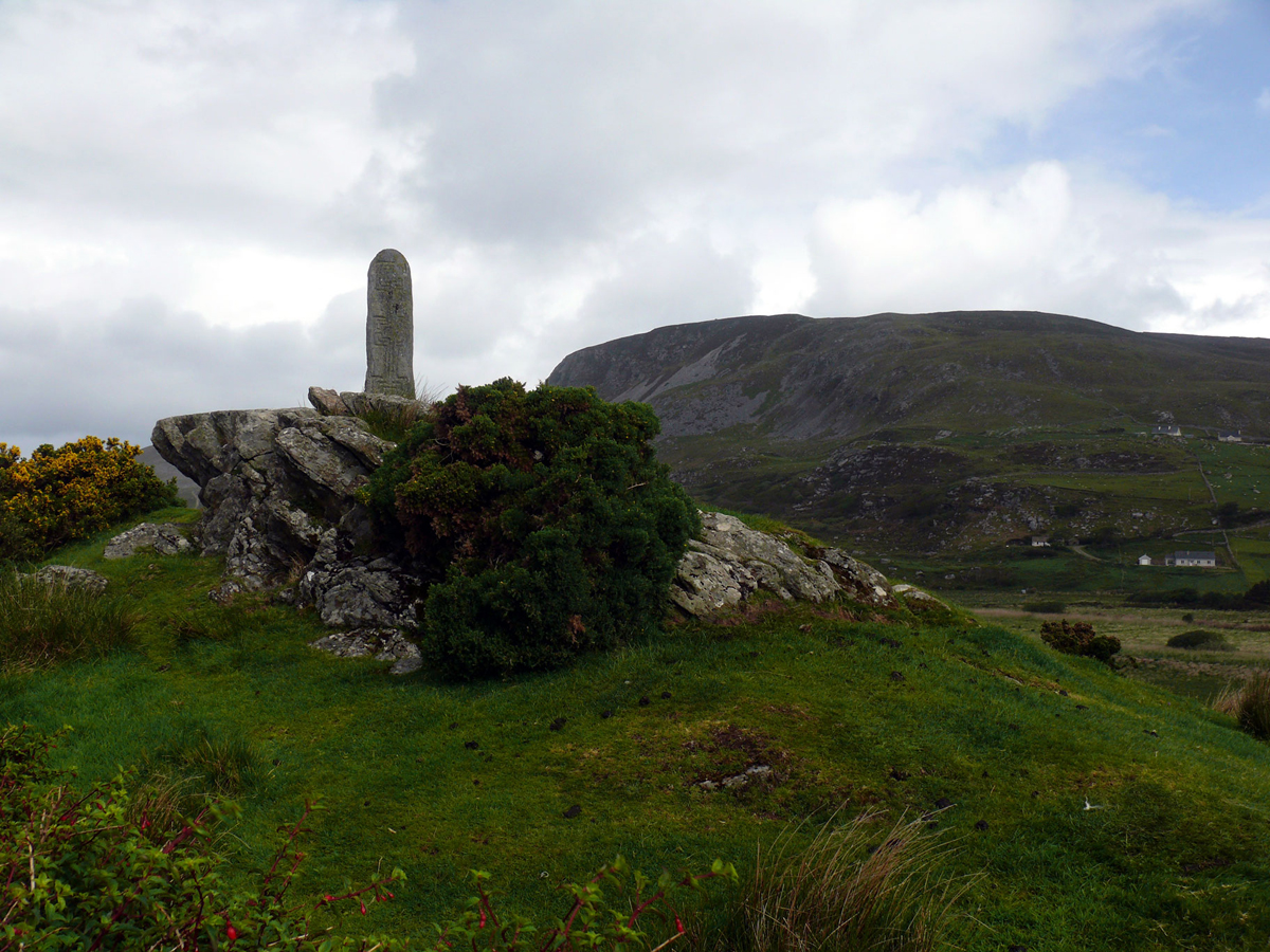
What is recorded here
St. Columkille's well is now a modernised water spout. Described by Ó Muirgheasa in 1936 as 'There is a St. Colmcille's Well on the shore at Moville' (Ó Muirgheasa 1936, 161). (Ó Muirgheasa no. 105).
The above description was derived from the 'Archaeological Survey of County Donegal. A description of the field antiquities of the County from the Mesolithic Period to the 17th century.' Compiled by: Brian Lacey with Eamon Cody, Claire Cotter, Judy Cuppage, Noel Dunne, Vincent Hurley, Celie O'Rahilly, Paul Walsh and Seán Ó Nualláin (Lifford: Donegal County Council, 1983). In certain instances the entries have been revised and updated.
Compiled by Caimin O'Brien
Date of upload/revision: 02 November 2011
St. Columbkilles Well is associated with St. Columba (Columkille), a 6th-century Irish saint known for his missionary work in Scotland and Ireland. Traditionally, such wells were believed to have curative properties and were sites of pilgrimage and prayer.
The monument record does not grant public access. Check the route and ask the landowner before entering private land.
- What survives
- Recorded monument
Places near here
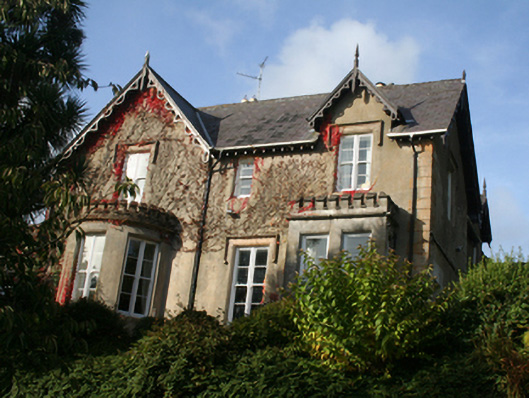 St. Columb’shouse · 91 yd
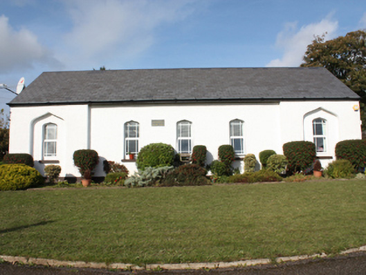 St. Columb’s National Schoolschool · 153 yd
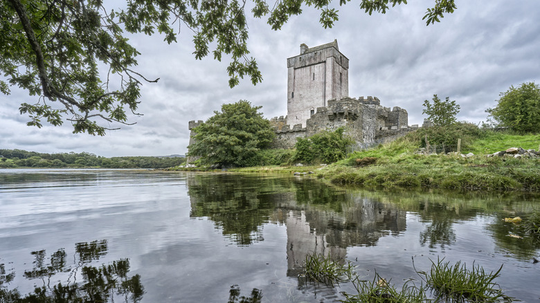 Carnagarve Fairy FortFairy fort / earthen ringfort · 1555 yd
 Cooly Medieval GraveslabGraveslab · 1.0 mi
 Cooley CrossMemorial · 1.1 mi
 Inishowen Maritime Museum and PlanetariumMuseum · 2.1 mi
 CrockaulinMountain / peak · 2.3 mi
 GreencastleCastle · 2.6 mi
 Greencastle / Northburgh CastleCastle, Anglo-Norman masonry castle · 2.6 mi
 CrockavishaneMountain / peak · 3.1 mi
 Sweet Nellie'sBeach / strand · 3.7 mi
 White StrandBeach / strand · 4.2 mi
Other information
Photo: Credit not shown in the picture search · Rights wording not checked; contact us if this picture should be removed