What is recorded here
Mound in Drumaderry is a gravelly earth mound on a broad hillock in County Mayo, Ireland. It stands at the junction of two field fences, with a narrow flat top and steep curving slope. The mound overlooks grassland and bog, suggesting people once valued its visibility. Its truncated shape and protruding stones hint that it has been both witnessed and altered by time.
In pasture, located on the summit of a broad hillock with panoramic views over a gently undulating landscape of grassland, with expanses of bog to W.
This mound is not depicted on the 1838 and 1916 editions of the OS 6-inch maps where the location is indicated as a trigonometrical station. It occupies a narrow space at the junction of two field fences. Roughly oval mound (8.6m E–W; 4.7m N–S; H 2.5m at E, 1.4m at W) of gravelly earth, with a narrow flat top (Wth 1m) and a steep curving slope at NE–E. Stones protrude from the top of the mound. The mound may originally have been circular but appears to have been truncated at NW and S by field fences. The fence at NW borders a disused sunken trackway.
Compiled by: Jane O'Shaughnessy
Date of upload: 28 April 2014
The monument record does not grant public access. Check the route and ask the landowner before entering private land.
- What survives
- Recorded monument
Places near here
 IndicatedCastle, motte · 401 yd
 LisgortnalassFairy fort / earthen ringfort · 1259 yd
 Knockanroe FortEnclosure · 1.1 mi
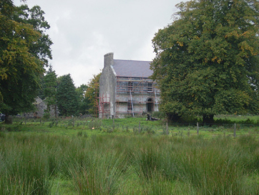 Holywell Housefarm house · 1.2 mi
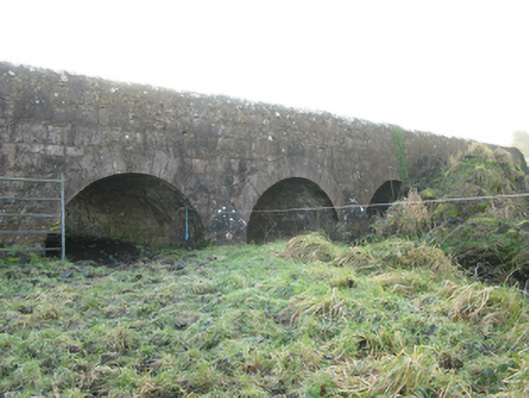 Agloragh Bridgebridge · 1.4 mi
 CastleCastle, unclassified · 1.7 mi
 Slieve DartMountain / peak · 5.8 mi
 Knock MuseumMuseum · 6.1 mi
 Knock ShrineHeritage attraction · 6.2 mi
 Oak WoodForest · 7.2 mi
 Geoffrey's WoodForest · 8.1 mi
 Mass RockNamed rock · 15 mi