What is recorded here
Partially indicated occupies a narrow pasture strip above the Scoul boundary in County Limerick, where a semi-circular bank and fosse once held a space thirteen by seventeen metres across. It appeared on the 1897 map but not the earlier 1840 survey, suggesting human shape rather than natural chance. The earthwork was levelled around 1980, erasing the ridge that might have marked a home, shrine or boundary knot. Only its shadow remains in the drawn line, waiting for someone to imagine what the bank enclosed.
In pasture immediately N of the townland boundary with Scoul. Possible enclosure (LI039-087----) lies 180m to SE. Indicated as a semi-circular feature but not as an antiquity on 1840 ed. OSi 6-inch map. Shown on the 1897 ed. OSi 25-inch map as a semi-circular shaped area (dims. c. 13m N-S; 17m E-W) enclosed by a bank with outer fosse transected at S by townland boundary running E-W. A disused gravel pit is depicted 200m to W. Surveyed by the ASI in 1996 when a faint cropmark was the only visible remains recorded. According to landowner earthwork was levelled 10-15 years ago, c. 1980 (SMR File). No surface remains visible on OSi orthophoto taken between 2005-12 or on Google Earth orthoimage dated 14/09/2019.
See attached Google Earth orthoimages
Compiled by: Martin Fitzpatrick
Date of upload: 29 April 2021
The monument record does not grant public access. Check the route and ask the landowner before entering private land.
- What survives
- Recorded monument
Places near here
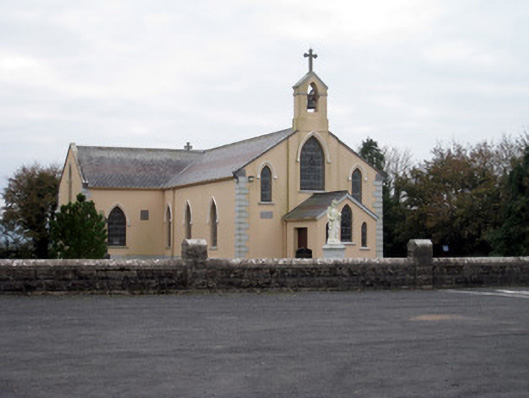 Catholic Church of the Holy Trinitychurch/chapel · 648 yd
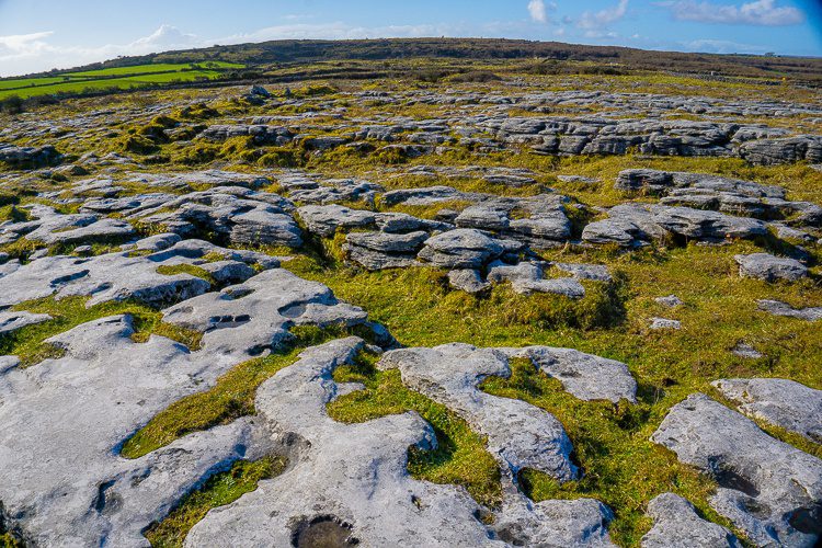 BarrowBarrow, unclassified · 732 yd
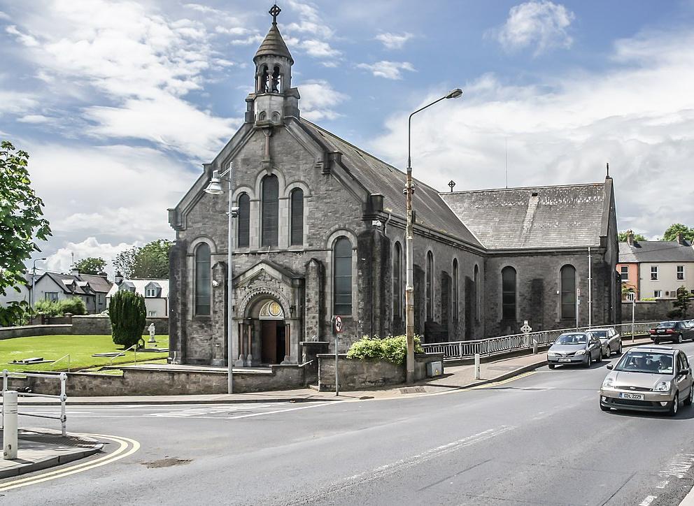 Dromin Church (in ruins)Church · 1417 yd
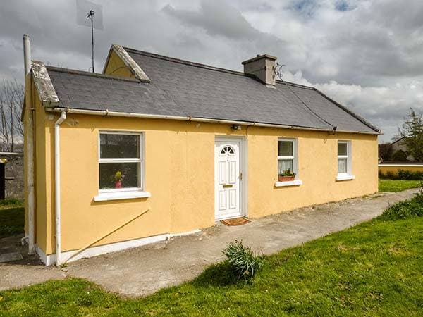 Enclosure in CottageEnclosure · 1550 yd
 Bawn in MaidstownBawn · 1.5 mi
 Bulgaden Castle (in ruins)Castle, tower house · 2.3 mi
 King John's CastleCastle · 2.5 mi
 St Bridget's WellSpring · 4.2 mi
 Glen BogForest · 4.8 mi
 KnockainyMountain / peak · 5.1 mi
 Flat cemetery in Knockainy WestFlat cemetery · 5.6 mi
 Ballinvreena LoopVisitor information · 6.7 mi